File:Map-of-Ottoman-Empire-in-1900-Latvian.svg
Jump to navigation
Jump to search

Size of this PNG preview of this SVG file: 800 × 504 pixels. Other resolutions: 320 × 201 pixels | 640 × 403 pixels | 1,024 × 644 pixels | 1,280 × 806 pixels | 2,560 × 1,611 pixels | 885 × 557 pixels.
Original file (SVG file, nominally 885 × 557 pixels, file size: 103 KB)
Captions
Captions
Add a one-line explanation of what this file represents
Summary[edit]
Kopsavilkums[edit]
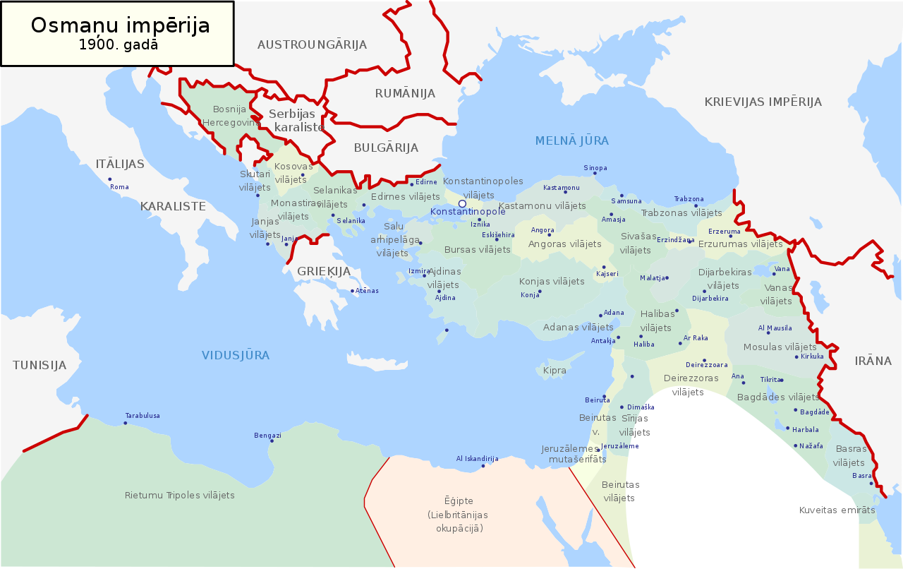
| Description | Map of Ottoman Empire (1900) in Latvian |
| Date | |
| Source | Own work |
| Author | Juris Tiltins |
| Permission (Reusing this file) |
Free use and distribution permitted. |
| Other versions |
Map-of-Ottoman-Empire-in-1900-Latvian.svg[]
|


Licensing[edit]
| I, the copyright holder of this work, release this work into the public domain. This applies worldwide. In some countries this may not be legally possible; if so: I grant anyone the right to use this work for any purpose, without any conditions, unless such conditions are required by law. |
File history
Click on a date/time to view the file as it appeared at that time.
| Date/Time | Thumbnail | Dimensions | User | Comment | |
|---|---|---|---|---|---|
| current | 17:05, 18 May 2018 | | 885 × 557 (103 KB) | NordNordWest (talk | contribs) | Reverted to version as of 21:53, 30 January 2008 (UTC) |
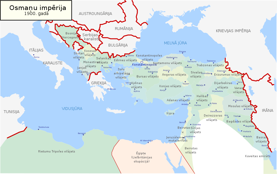
| 17:04, 18 May 2018 |  | 885 × 557 (113 KB) | NordNordWest (talk | contribs) | + Sicilia, Sardegna, Corse, Malta | |
| 21:53, 30 January 2008 |  | 885 × 557 (103 KB) | Juristiltins (talk | contribs) | {{Information |Description=Map of Ottoman Empire (1900) in Latvian |Source=own work |Date=30 January 2008 |Author=Juris Tiltins |Permission=Free use and distribution permitted. |other_versions= }} Category:Maps of the Ottoman Empire |
You cannot overwrite this file.
File usage on Commons
The following 6 pages use this file:
File usage on other wikis
The following other wikis use this file:
- Usage on de.wikipedia.org
- Usage on lv.wikipedia.org