File:Map-Latin America blue.svg
Jump to navigation
Jump to search

Size of this PNG preview of this SVG file: 480 × 600 pixels. Other resolutions: 192 × 240 pixels | 384 × 480 pixels | 614 × 768 pixels | 819 × 1,024 pixels | 1,638 × 2,048 pixels | 1,000 × 1,250 pixels.
Original file (SVG file, nominally 1,000 × 1,250 pixels, file size: 849 KB)
Captions
Captions
Add a one-line explanation of what this file represents
| Description |
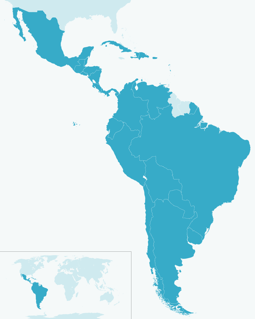
English: Map of Latin America
Español: Ubicación de América Latina |
| Date | (UTC) |
| Source | |
| Author |
|
| Other versions |
Derivative works of this file:
|
| This is a retouched picture, which means that it has been digitally altered from its original version. Modifications: Style. The original can be viewed here: Map-Latin America.svg:
|
| I, the copyright holder of this work, release this work into the public domain. This applies worldwide. In some countries this may not be legally possible; if so: I grant anyone the right to use this work for any purpose, without any conditions, unless such conditions are required by law. |
Original upload log[edit]
This image is a derivative work of the following images:
- File:Map-Latin_America.svg licensed with PD-user
- 2009-04-28T12:13:37Z Kmusser 1000x1250 (264765 Bytes) Missed Saint-Martin
- 2009-04-27T14:24:40Z Kmusser 1000x1250 (265076 Bytes) added french speaking areas, subtracted english and dutch speaking areas
- 2009-03-20T22:24:11Z DavoO 1000x1250 (265673 Bytes) {{Information |Description= |Source=*[[:File:Map-Latin_America2.png|]] |Date=2009-03-20 22:22 (UTC) |Author=*[[:File:Map-Latin_America2.png|]]: '''Yug''' *derivative work: ~~~ |Permission=see below |other_versions= }} {{Reto
File history
Click on a date/time to view the file as it appeared at that time.
| Date/Time | Thumbnail | Dimensions | User | Comment | |
|---|---|---|---|---|---|
| current | 23:51, 7 May 2009 | | 1,000 × 1,250 (849 KB) | Addicted04 (talk | contribs) | {{Information |Description={{es|Ubicación de América Latina}} |Source=*File:Map-Latin_America.svg |Date=2009-05-08 00:49 (UTC) |Author=*File:Map-Latin_America.svg: *Map-Latin_America2.png: '''Yug''' *derivati |
You cannot overwrite this file.
File usage on Commons
The following 31 pages use this file:
- File:LatinAmerica2050EstimatedPopulation.svg
- File:LatinAmericaAIDSRates.svg
- File:LatinAmericaBirthRates.svg
- File:LatinAmericaFemaleLifeExpectancy.svg
- File:LatinAmericaGNIPPPPerCapita.svg
- File:LatinAmericaInfantMortality.svg
- File:LatinAmericaLifeExpectancy.svg
- File:LatinAmericaMaleLifeExpectancy.svg
- File:LatinAmericaNetMigration.svg
- File:LatinAmericaPhoneSubscriptions.svg
- File:LatinAmericaPopBelow2PerDay.svg
- File:LatinAmericaPopulationAbove65.svg
- File:LatinAmericaPopulationBelow15.svg
- File:LatinAmericaPopulationDensity.svg
- File:LatinAmericaRateNaturalIncrease.svg
- File:LatinAmericaUrbanPopulation.svg
- File:Porpaís ajonjoli sesamo.svg
- File:Porpaís albaricoque damasco.svg
- File:Porpaís alcachofra alcaucil.svg
- File:Porpaís anana piña.svg
- File:Porpaís banana plátano.svg
- File:Porpaís batata boniato camote.svg
- File:Porpaís betabel remolacha.svg
- File:Porpaís cacahuate maní.svg
- File:Porpaís chile ají.svg
- File:Porpaís fresa frutilla.svg
- File:Porpaís papa patata.svg
- File:Porpaís patilla sandía.svg
- File:Porpaís pimenton pimiento morron.svg
- File:Porpaís pomelo toronja.svg
- File:Porpaís soja soya.svg
File usage on other wikis
The following other wikis use this file:
- Usage on ca.wikipedia.org
- Usage on en.wikipedia.org
- Usage on es.wikipedia.org