File:München - Basiskarte grau.pdf
Jump to navigation
Jump to search

Size of this JPG preview of this PDF file: 730 × 599 pixels. Other resolutions: 293 × 240 pixels | 585 × 480 pixels | 936 × 768 pixels | 1,248 × 1,024 pixels | 2,495 × 2,048 pixels | 4,593 × 3,770 pixels.
Original file (4,593 × 3,770 pixels, file size: 8.16 MB, MIME type: application/pdf)
Captions
Captions
Add a one-line explanation of what this file represents
| Description |
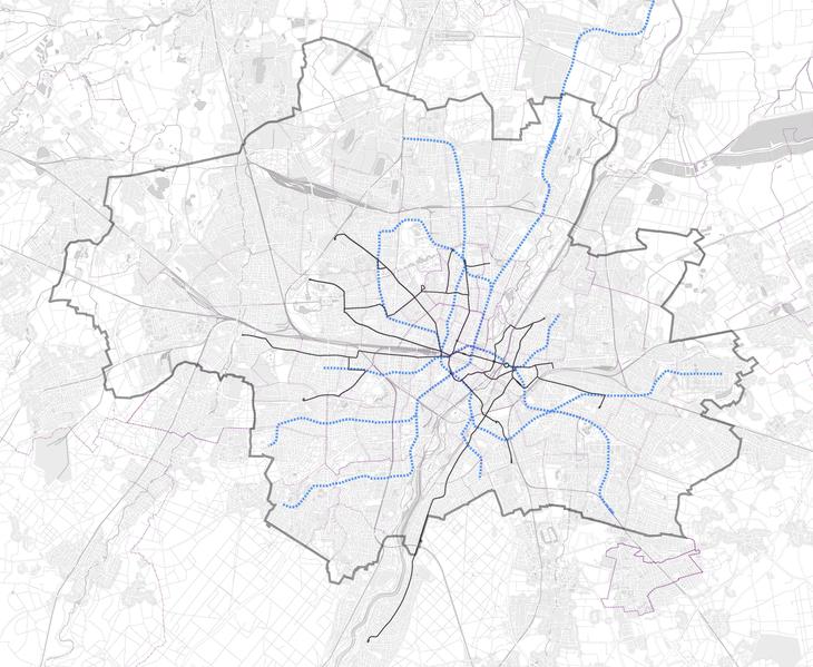
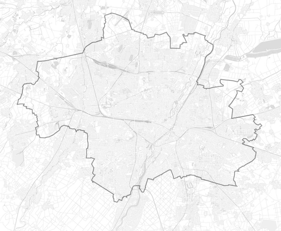
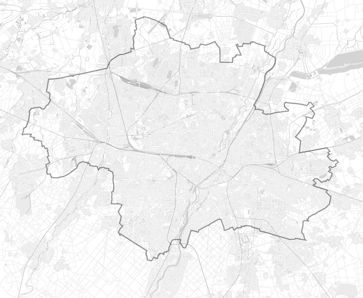
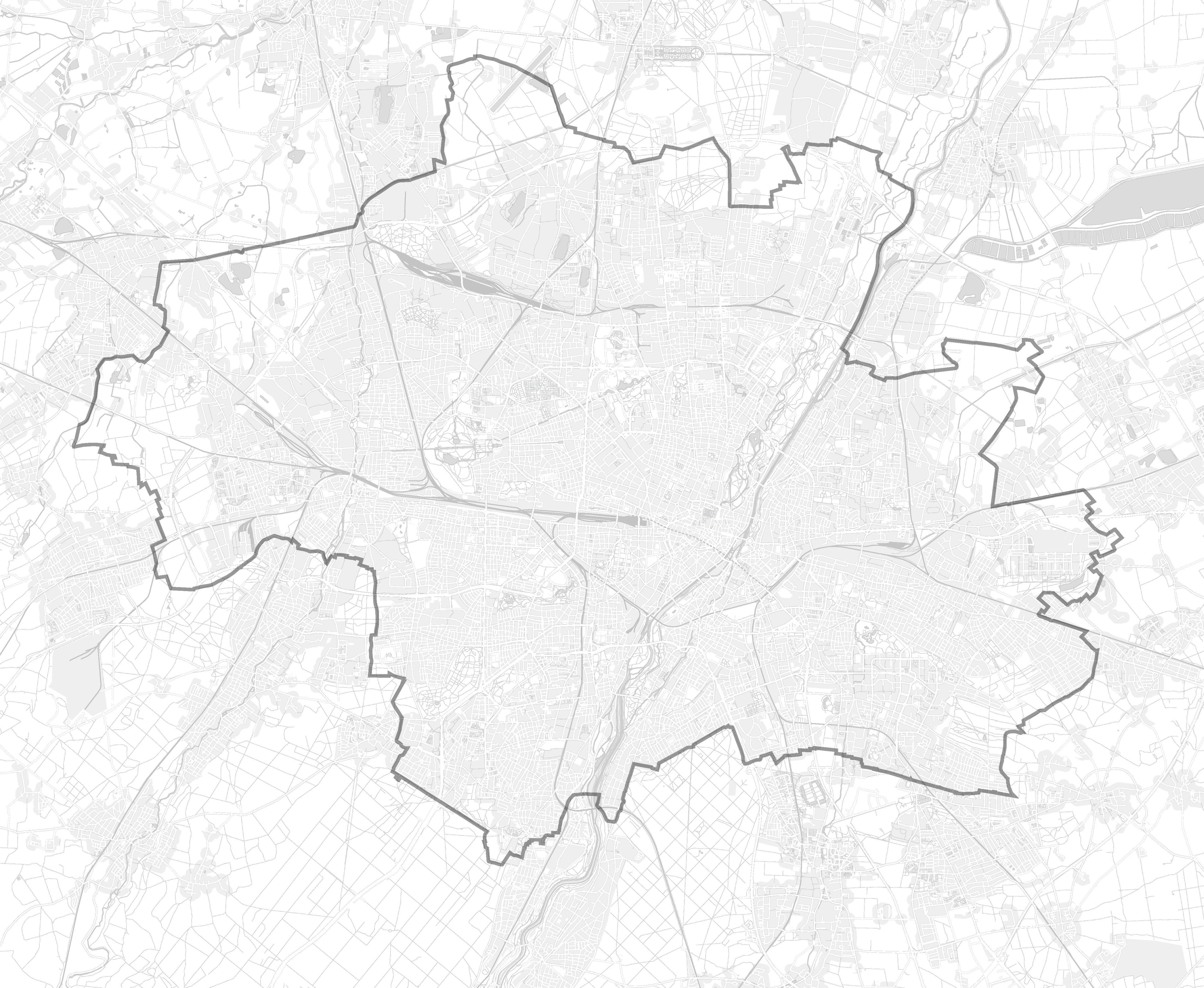
English: This map of Munich was created from OpenStreetMap project data, collected by the community. This map may be incomplete, and may contain errors. Don't rely solely on it for navigation. |
| Date | see file history |
| Source | OpenStreetMap data exported an adapted by myself |
| Author | OpenStreetMap contributors |
| Permission (Reusing this file) |
All OpenStreetMap data and maps are Creative Commons "CC-BY-SA 2.0" licensed This file is licensed under the Creative Commons Attribution-Share Alike 2.0 Generic license.
|
| Other versions |
Region München:
Stadt München:
|


.png)


.png)
.png)


File history
Click on a date/time to view the file as it appeared at that time.
| Date/Time | Thumbnail | Dimensions | User | Comment | |
|---|---|---|---|---|---|
| current | 05:38, 28 May 2009 |  | 4,593 × 3,770 (8.16 MB) | Chumwa (talk | contribs) | Fußgängerzonen und Bahntunnel hinzugefügt |
| 22:05, 27 May 2009 | No thumbnail | 0 × 0 (8.13 MB) | Chumwa (talk | contribs) | {{Information |Description={{en|This map of Munich was created from OpenStreetMap project data, collected by the community.<br/><small>This map may be incomplete, and may contain errors. Don't rely solely on it for navigation.</small>}} |Source=[[Open |
You cannot overwrite this file.
File usage on Commons
The following 35 pages use this file:
- User:Chumwa/Gallery
- User:Chumwa/OtherVersions - Karten München
- File:Administrative boundaries of the borough of Solln in Munich.png
- File:Basiskarte Kiel.png
- File:Karte Flaucher München.png
- File:Karte München - WirtshausWiesn 2020.png
- File:Karte München Basiskarte.jpg
- File:Karte München Basiskarte.png
- File:Karte München Landnutzung.png
- File:Karte München Schwarzplan.png
- File:Karte München ÖPNV.png
- File:Karte München Übersichtsplan.png
- File:Karte Streetlife München.png
- File:Karte Viktualienmarkt München.png
- File:Karte der Burgfrieden von München.png
- File:Karte der Denkmalschutzensembles in München.jpg
- File:Karte der Gemarkungen in München.png
- File:Karte der Gemarkungen und Stadtbezirke in München.png
- File:Karte der Ortsbezeichnungen in München.png
- File:Karte der Parkstadt Bogenhausen in München.png
- File:Karte der Stadtbezirke in München.png
- File:Karte der Stadtbezirke in München in der bis 1992 gültigen Gliederung.png
- File:Karte der Stadtbezirksteile in München.png
- File:München - Basiskarte farbig.pdf
- File:München - Basiskarte farbig.png
- File:München - Basiskarte farbig - Flaucher bis Englischer Garten.png
- File:München - Basiskarte farbig - mit Nachbargemeinden.jpg
- File:München - Basiskarte farbig - mit Nachbargemeinden.png
- File:München - Basiskarte grau.pdf
- File:München - Basiskarte grau.png
- File:München - Stadtbezirke (Karte).png
- File:Positionskarte München.png
- File:Stadterweiterungen München.png
- File:Westpark München (Karte).png
- File:Westpark München zur IGA 1983 (Karte).png
File usage on other wikis
The following other wikis use this file:
- Usage on de.wikipedia.org