File:Location map Canada Vancouver Downtown.png
Jump to navigation
Jump to search
Size of this preview: 800 × 594 pixels. Other resolutions: 320 × 237 pixels | 640 × 475 pixels | 1,024 × 760 pixels | 1,116 × 828 pixels.
Original file (1,116 × 828 pixels, file size: 687 KB, MIME type: image/png)
Captions
Captions
Add a one-line explanation of what this file represents
Summary[edit]
| Description |
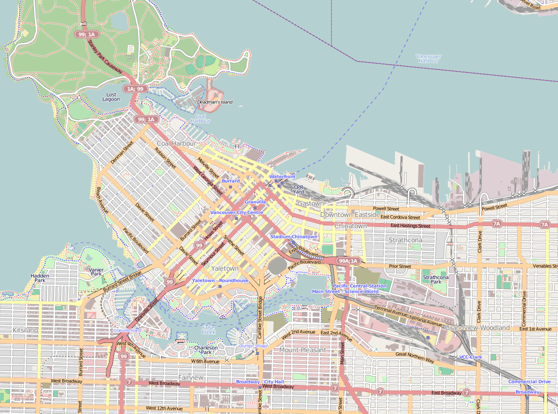
English: Map of Downtown Vancouver
Geographic limits of the map:
|
| Date | |
| Source | http://www.maps-for-free.com/ using Open Street Map data. |
| Author | Snapshot taken by Dr. Blofeld |
| Permission (Reusing this file) |
This file is licensed under the Creative Commons Attribution-Share Alike 3.0 Unported license. Attribution: Maps for Free
|
File history
Click on a date/time to view the file as it appeared at that time.
| Date/Time | Thumbnail | Dimensions | User | Comment | |
|---|---|---|---|---|---|
| current | 12:57, 23 April 2013 | | 1,116 × 828 (687 KB) | Blofeld Dr. (talk | contribs) | |
| 09:47, 23 April 2013 |  | 1,177 × 846 (817 KB) | Blofeld Dr. (talk | contribs) | {{Information |Description ={{en|1=d}} |Source =d |Author =d |Date =d |Permission = |other_versions = }} |
You cannot overwrite this file.
File usage on Commons
The following page uses this file:
File usage on other wikis
The following other wikis use this file:
- Usage on ar.wikipedia.org
- Usage on ceb.wikipedia.org
- Usage on en.wikipedia.org
- Usage on fa.wikipedia.org
- Usage on kn.wikipedia.org
- Usage on simple.wikipedia.org
- Usage on si.wikipedia.org
- Usage on tr.wikipedia.org
- Usage on uz.wikipedia.org
- Usage on war.wikipedia.org
- Usage on www.wikidata.org