File:Location NATO-Netherlands.png
Jump to navigation
Jump to search

Size of this preview: 600 × 600 pixels. Other resolutions: 240 × 240 pixels | 480 × 480 pixels | 768 × 768 pixels | 1,024 × 1,024 pixels | 2,000 × 2,000 pixels.
Original file (2,000 × 2,000 pixels, file size: 771 KB, MIME type: image/png)
Captions
Captions
Add a one-line explanation of what this file represents

|
This locator map image could be re-created using vector graphics as an SVG file. This has several advantages; see Commons:Media for cleanup for more information. If an SVG form of this image is available, please upload it and afterwards replace this template with
{{vector version available|new image name}}.
It is recommended to name the SVG file “Location NATO-Netherlands.svg”—then the template Vector version available (or Vva) does not need the new image name parameter. |
Summary[edit]
| Description |
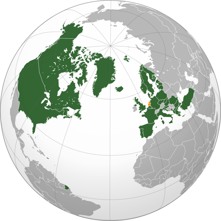
English: Locator map of The Netherlands among other NATO states
Русский: Нидерланды на карте стран-членов и партнёров НАТО |
| Date | |
| Source | File:Location_NATO.svg |
| Author |
Own work This vector image includes elements that have been taken or adapted from this file: |
Licensing[edit]
This file is licensed under the Creative Commons Attribution-Share Alike 3.0 Unported license.
- You are free:
- to share – to copy, distribute and transmit the work
- to remix – to adapt the work
- Under the following conditions:
- attribution – You must give appropriate credit, provide a link to the license, and indicate if changes were made. You may do so in any reasonable manner, but not in any way that suggests the licensor endorses you or your use.
- share alike – If you remix, transform, or build upon the material, you must distribute your contributions under the same or compatible license as the original.
File history
Click on a date/time to view the file as it appeared at that time.
| Date/Time | Thumbnail | Dimensions | User | Comment | |
|---|---|---|---|---|---|
| current | 19:53, 7 March 2024 | | 2,000 × 2,000 (771 KB) | Iktsokh (talk | contribs) | Updated |
| 18:42, 15 April 2023 |  | 2,000 × 2,000 (839 KB) | Physeters (talk | contribs) | greatly improve resolution; add North Macedonia | |
| 04:46, 7 April 2023 |  | 491 × 447 (151 KB) | Maphobbyist (talk | contribs) | Sweden is still not a member | |
| 23:01, 5 April 2023 |  | 491 × 447 (151 KB) | Nahabino (talk | contribs) | Test with gray Sweden | |
| 22:51, 5 April 2023 |  | 491 × 447 (151 KB) | Nahabino (talk | contribs) | +Finland | |
| 09:59, 24 November 2017 |  | 491 × 447 (130 KB) | Artem Ponomarenko (talk | contribs) | User created page with UploadWizard |
You cannot overwrite this file.
File usage on Commons
There are no pages that use this file.
File usage on other wikis
The following other wikis use this file:
- Usage on ru.wikipedia.org
- Usage on www.wikidata.org