File:Landkarte Ducatus Brunsvicensis fereq(ue) Lunaeburgensis.jpg

Original file (3,617 × 2,989 pixels, file size: 2.48 MB, MIME type: image/jpeg)
Captions
Captions
Summary[edit]
_Lunaeburgensis.jpg&action=edit§ion=1)
| Description |
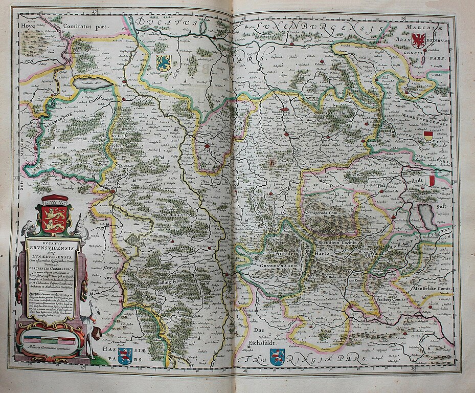
Descripción bibliográfica: Geographia Blaviana. - [Amsterdam : Juan Blaeu, 1659] . - [32], VI, 96 p., 34 f., h. 35a, 35b, 35c, 35d, 36-44 f., 34, [2], 36-40, [2], 43-70 [i. e. 75], [1] f., [20] p. de map., [9] f. de map., [4] f. pleg. de map., [2] f. de plan., [2] f. ge grab. : |bil. ; |cFol. marca major (57 cm.) . - En la dedicatoria a Felipe IV: "Presenta ... El Atlas Universal y Cosmographico de los orbes y terrestre ... Juan Blaeu" . - Título tomado del frontispicio. -- Privilegio fechado en 1659. -Errores de pag. - Sign.: [ ]1, *2, **3, ***-****2, a-e2, A-I2, K1, L-Z2, Aa-Dd2, 4[ ]2, Ee-Ff2, A-I2, K1, L2, M1, N-Y2, Z5, Aa-Dd2, Ee1, A-D2, E-F1, G-I2, K-L1, M-O2, P1, Q-Z2, Aa-Bb2, Cc1, Dd3, Ff-Zz2, Aaa-Bbb2, [ ]. - Frontispicio grab. col. -- Incluye un total de 49 il. entre map., plan. i grab.
Impresor: Blaeu, Joan, 1596-1673, imp. Lugar de impresión: Holanda. Amsterdam
|
| Date | |
| Source | "Ducatus Brunsvicensis fereq[ue] Lunaeburgensis... descriptio geographica per annos aliquot concinnata... dicata ab observatore et elaboratore Casparo Dautendeij..." |
| Author | Fondo Antiguo de la Biblioteca de la Universidad de Sevilla from Sevilla, España |
Licensing[edit]
_Lunaeburgensis.jpg&action=edit§ion=2)
- You are free:
- to share – to copy, distribute and transmit the work
- to remix – to adapt the work
- Under the following conditions:
- attribution – You must give appropriate credit, provide a link to the license, and indicate if changes were made. You may do so in any reasonable manner, but not in any way that suggests the licensor endorses you or your use.
| This image was originally posted to Flickr by Biblioteca General Antonio Machado at https://flickr.com/photos/37667416@N04/22231862356. It was reviewed on 9 September 2016 by FlickreviewR and was confirmed to be licensed under the terms of the cc-by-2.0. |
File history
Click on a date/time to view the file as it appeared at that time.
| Date/Time | Thumbnail | Dimensions | User | Comment | |
|---|---|---|---|---|---|
| current | 18:54, 9 September 2016 | | 3,617 × 2,989 (2.48 MB) | Tm (talk | contribs) | Transferred from Flickr via Flickr2Commons |
You cannot overwrite this file.
File usage on Commons
The following 2 pages use this file:
_Lunaeburgensis..._descriptio_geographica_per_annos_aliquot_concinnata..._dicata_ab_observatore_et_elaboratore_Casparo_Dautendeij...%22_(22231862356).jpg&redirect=no)
File usage on other wikis
The following other wikis use this file:
- Usage on de.wikipedia.org
Metadata
_Lunaeburgensis.jpg&oldid=845399677)
- 1659 maps
- Geographia Blaviana
- Old maps of Braunschweig
- Old maps of Lüneburg
- Maps of the Duchy of Brunswick
- Braunschweig in the 17th century
- Duchy of Brunswick-Lüneburg
- Principality of Grubenhagen
- Lower Saxony in the 1650s
- Hildesheim in the 17th century
- Old maps of Hildesheim
- Maps by Willem and Johannes Blaeu
- Maps of the Prince-Bishopric of Hildesheim
- Maps of the Principality of Brunswick-Wolfenbüttel