File:Kahoolawe K20156E4 geo.pdf
Jump to navigation
Jump to search

Size of this JPG preview of this PDF file: 800 × 462 pixels. Other resolutions: 320 × 185 pixels | 640 × 369 pixels | 1,024 × 591 pixels | 1,280 × 739 pixels | 2,560 × 1,478 pixels | 7,120 × 4,110 pixels.
Original file (7,120 × 4,110 pixels, file size: 15.72 MB, MIME type: application/pdf)
Captions
Captions
Add a one-line explanation of what this file represents
Summary[edit]
| Description |
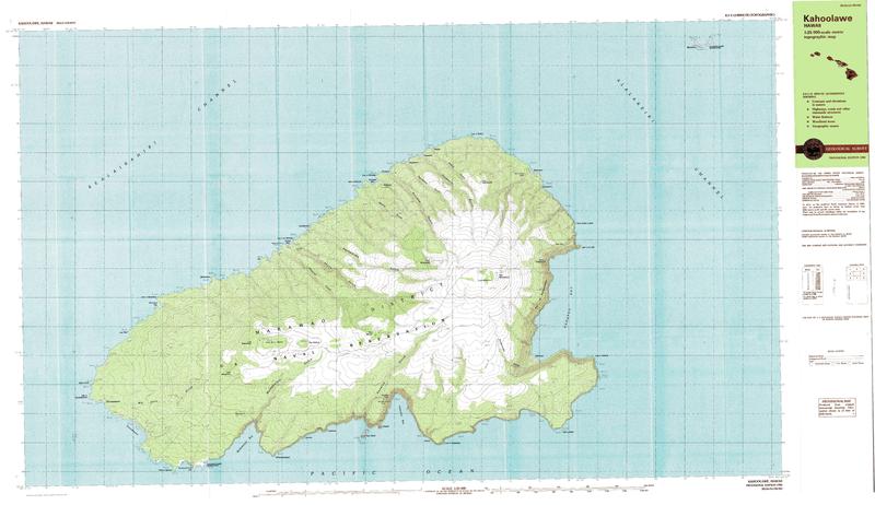
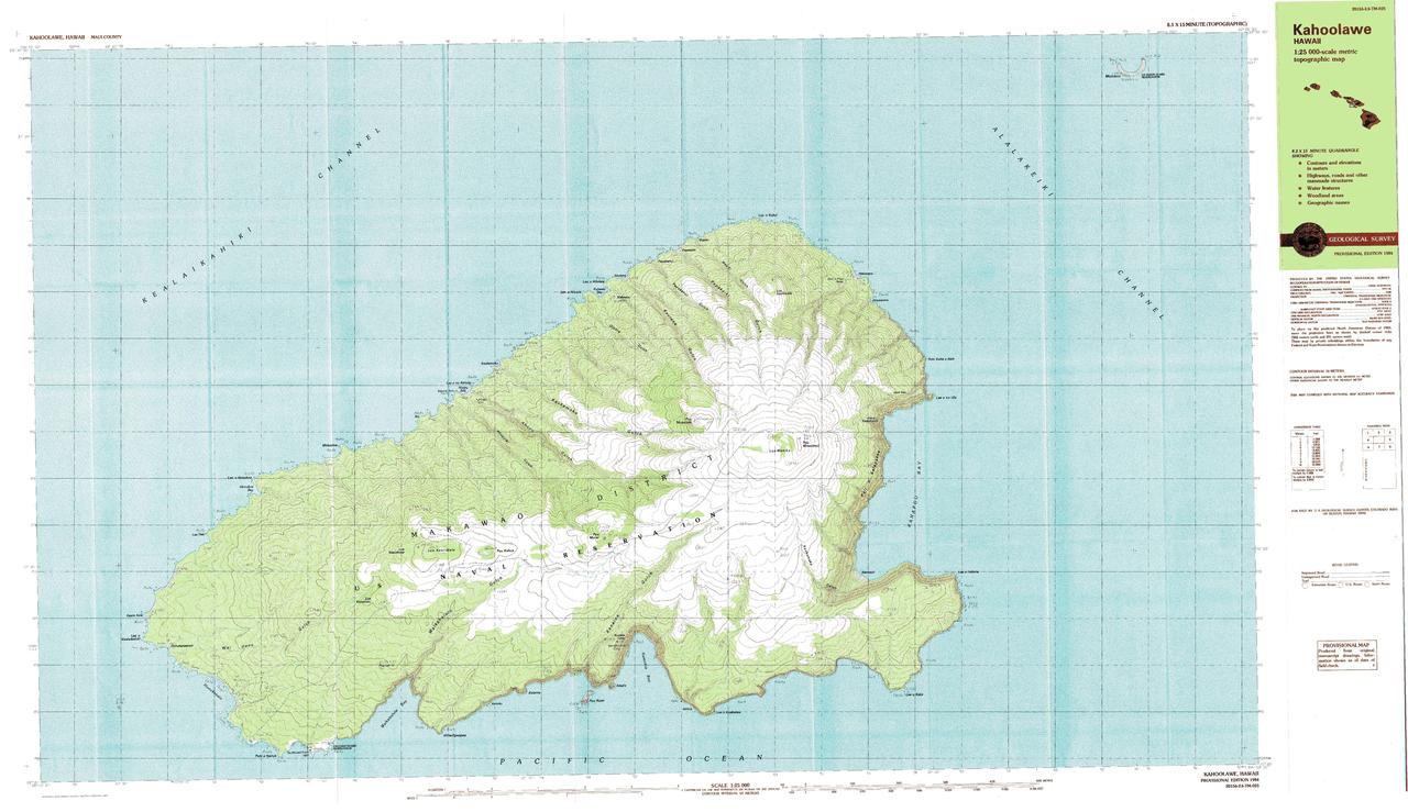
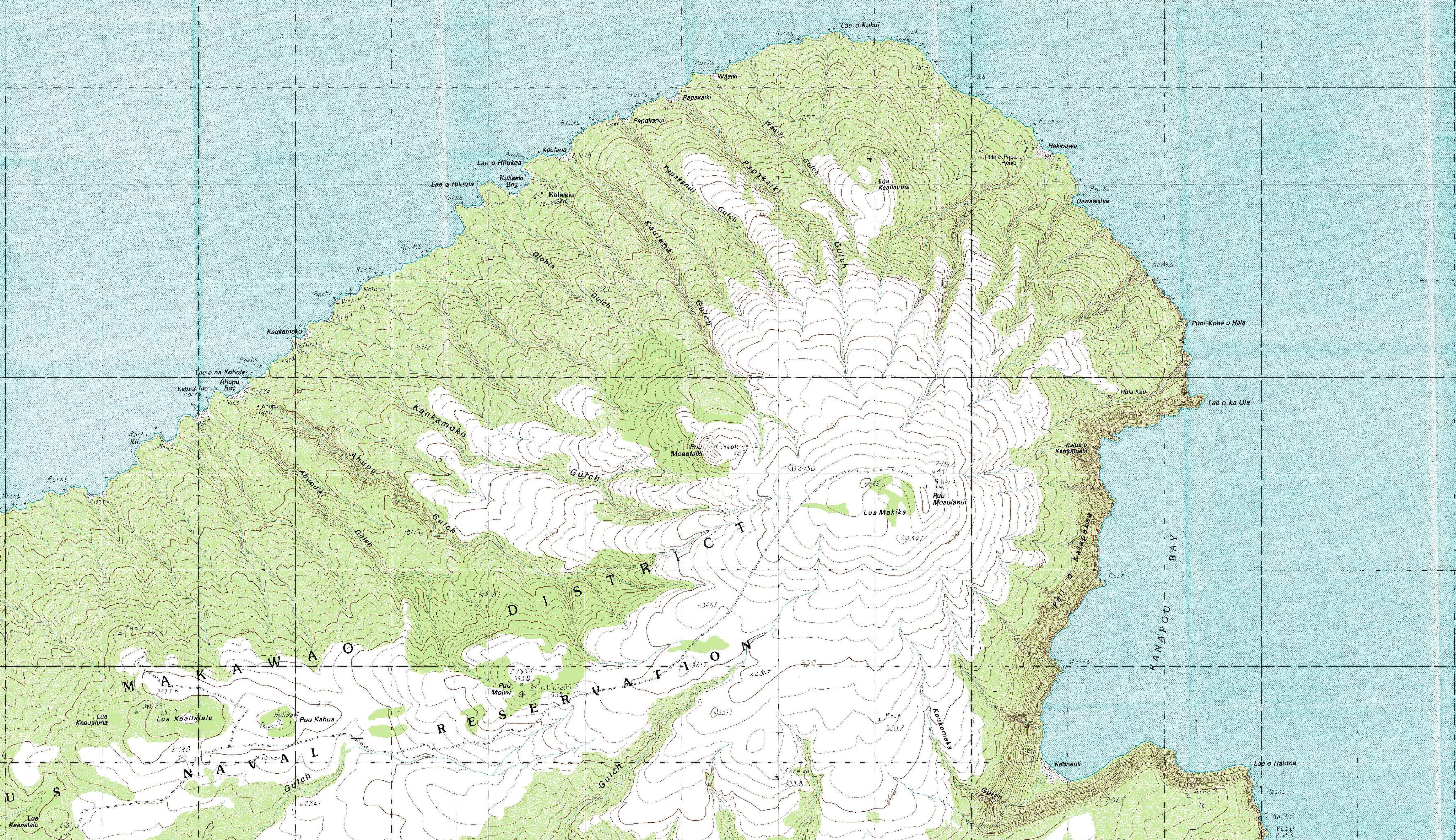
English: Topographic Map 1:25000 of Kahoolawe Island, Hawaii |
| Date | |
| Source | http://store.usgs.gov/b2c_usgs/usgs/maplocator/%28ctype=areaDetails&xcm=r3standardpitrex_prd&carea=%24ROOT&layout=6_1_61_48&uiarea=2%29/.do |
| Author | USGS |
Licensing[edit]
This image is in the public domain in the United States because it only contains materials that originally came from the United States Geological Survey, an agency of the United States Department of the Interior. For more information, see the official USGS copyright policy.
|
File history
Click on a date/time to view the file as it appeared at that time.
| Date/Time | Thumbnail | Dimensions | User | Comment | |
|---|---|---|---|---|---|
| current | 20:43, 8 July 2011 |  | 7,120 × 4,110 (15.72 MB) | Ratzer (talk | contribs) | {{Information |Description ={{en|1=Topographic Map 1:25000 of Kahoolawe Island, Hawaii}} |Source =http://store.usgs.gov/b2c_usgs/usgs/maplocator/%28ctype=areaDetails&xcm=r3standardpitrex_prd&carea=%24ROOT&layout=6_1_61_48&uiarea=2%29/.do |Autho |
You cannot overwrite this file.
File usage on Commons
There are no pages that use this file.