File:Indonesia provinces outline map.svg
Jump to navigation
Jump to search

Size of this PNG preview of this SVG file: 800 × 320 pixels. Other resolutions: 320 × 128 pixels | 640 × 256 pixels | 1,024 × 410 pixels | 1,280 × 512 pixels | 2,560 × 1,024 pixels | 1,875 × 750 pixels.
Original file (SVG file, nominally 1,875 × 750 pixels, file size: 571 KB)
Captions
Captions
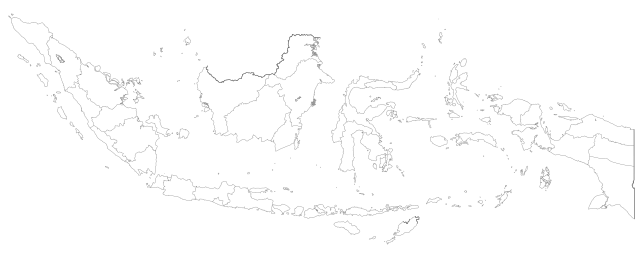
Outline map of provinces of Indonesia
Summary[edit]
| Description |
English: Outline map of provinces of Indonesia |
| Date | |
| Source | Base map is Image:Indonesian cities and regencies.svg by Hddty |
| Author | Afrogindahood |
Licensing[edit]
I, the copyright holder of this work, hereby publish it under the following license:
This file is licensed under the Creative Commons Attribution-Share Alike 4.0 International license.
- You are free:
- to share – to copy, distribute and transmit the work
- to remix – to adapt the work
- Under the following conditions:
- attribution – You must give appropriate credit, provide a link to the license, and indicate if changes were made. You may do so in any reasonable manner, but not in any way that suggests the licensor endorses you or your use.
- share alike – If you remix, transform, or build upon the material, you must distribute your contributions under the same or compatible license as the original.
File history
Click on a date/time to view the file as it appeared at that time.
| Date/Time | Thumbnail | Dimensions | User | Comment | |
|---|---|---|---|---|---|
| current | 17:28, 23 July 2023 | 1,875 × 750 (571 KB) | SmallJarsWithGreenLabels (talk | contribs) | width and darkness correction | |
| 17:01, 23 July 2023 | 1,875 × 750 (571 KB) | SmallJarsWithGreenLabels (talk | contribs) | add southwest papua with path from base image | ||
| 12:58, 3 August 2022 | 1,875 × 750 (549 KB) | Afrogindahood (talk | contribs) | Outlines thickening | ||
| 08:15, 24 July 2022 | 1,875 × 750 (533 KB) | Afrogindahood (talk | contribs) | Addition of coastlines for smaller islands | ||
| 14:22, 19 July 2022 | 1,875 × 750 (370 KB) | Afrogindahood (talk | contribs) | Increase SVG decimal to 3 | ||
| 14:19, 19 July 2022 | 1,875 × 750 (308 KB) | Afrogindahood (talk | contribs) | Addition of new provinces in Western New Guinea | ||
| 10:47, 25 October 2020 | 790 × 300 (333 KB) | Afrogindahood (talk | contribs) | Minor image alignment | ||
| 23:12, 15 October 2020 | 790 × 300 (332 KB) | Afrogindahood (talk | contribs) | Minor fixes on international borders | ||
| 22:46, 3 August 2020 | 512 × 196 (296 KB) | Afrogindahood (talk | contribs) | Fixes on Sumatran provincial borders | ||
| 10:48, 19 November 2019 | 512 × 196 (297 KB) | Afrogindahood (talk | contribs) | Incorporating Lakes and Provinces layer. All lakes treated as hollow areas inside objects |
You cannot overwrite this file.
File usage on Commons
The following 3 pages use this file:
.svg)