File:Imperial Hotel, Dublin per 1850 directory-colored.svg
Jump to navigation
Jump to search

Size of this PNG preview of this SVG file: 800 × 465 pixels. Other resolutions: 320 × 186 pixels | 640 × 372 pixels | 1,024 × 595 pixels | 1,280 × 744 pixels | 2,560 × 1,488 pixels | 1,588 × 923 pixels.
Original file (SVG file, nominally 1,588 × 923 pixels, file size: 212 KB)
Captions
Captions
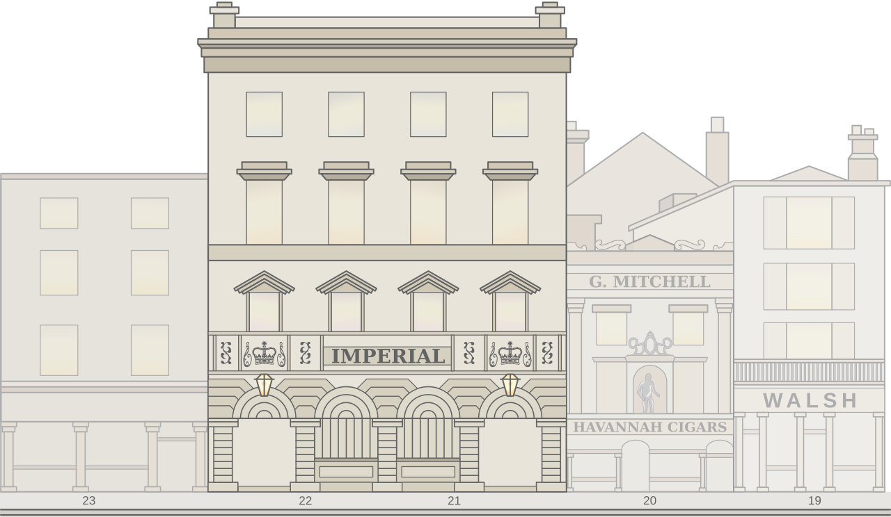
Imperial Hotel, Dublin, ca. 1850. Colored free interpretation
Summary[edit]
| Description |
English: This is my own interpretation of how the street view might have looked of "Imperial Hotel" Dublin 1850. It has nothing to do with how it might have looked at that time. |
||
| Date | |||
| Source |
Own work |
||
| Author | Goran tek-en | ||
| Permission (Reusing this file) |
This file is licensed under the Creative Commons Attribution-Share Alike 4.0 International license. Attribution: Goran tek-en
|
||
| Other versions |
|
||
| SVG development | This W3C-invalid vector image was created with Inkscape, or with something else.
|


| Object location | | View this and other nearby images on: OpenStreetMap |
|---|


File history
Click on a date/time to view the file as it appeared at that time.
| Date/Time | Thumbnail | Dimensions | User | Comment | |
|---|---|---|---|---|---|
| current | 18:09, 1 August 2021 | | 1,588 × 923 (212 KB) | Goran tek-en (talk | contribs) | {{Information |description ={{en|x}} |date =2021-08-01 |source ={{Own}}<br> {{Derived from|Imperial Hotel, Dublin per 1850 directory.svg}} Information from: file:Dublin Sackville Street 1853.jpg |author =Goran tek-en |permission ={{Cc-by-sa-4.0 |1= Goran tek-en}} {{NO Facebook Youtube license}} Om OSM material is used: {{ODbL OpenStreetMap}} |other versions =<gallery> File:Imperial Hotel, Dublin per 1850 directory.svg|Imperial... |
You cannot overwrite this file.
File usage on Commons
The following 3 pages use this file: