File:Haut-Rhin department relief location map.jpg
Jump to navigation
Jump to search
Size of this preview: 391 × 599 pixels. Other resolutions: 157 × 240 pixels | 313 × 480 pixels | 708 × 1,084 pixels.
Original file (708 × 1,084 pixels, file size: 270 KB, MIME type: image/jpeg)
Captions
Captions
Add a one-line explanation of what this file represents
Summary[edit]
| Camera location | | View this and other nearby images on: OpenStreetMap |
|---|
| Description |
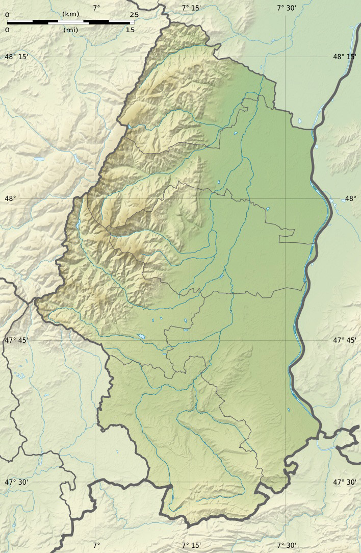
Français : Carte physique vierge du département du Haut-Rhin, France, destinée à la géolocalisation. Topographic scale: 1:400,000 (precision: 100 m)
Geographic limits of the map:
|
||
| Date | |||
| Source |
Own work
|
||
| Author | Eric Gaba (Sting - fr:Sting) | ||
| Permission (Reusing this file) |
|
||
| Other versions |
|

Licensing[edit]
I, the copyright holder of this work, hereby publish it under the following licenses:
This file is licensed under the Creative Commons Attribution-Share Alike 3.0 Unported license.
- You are free:
- to share – to copy, distribute and transmit the work
- to remix – to adapt the work
- Under the following conditions:
- attribution – You must give appropriate credit, provide a link to the license, and indicate if changes were made. You may do so in any reasonable manner, but not in any way that suggests the licensor endorses you or your use.
- share alike – If you remix, transform, or build upon the material, you must distribute your contributions under the same or compatible license as the original.

|
Permission is granted to copy, distribute and/or modify this document under the terms of the GNU Free Documentation License, Version 1.2 or any later version published by the Free Software Foundation; with no Invariant Sections, no Front-Cover Texts, and no Back-Cover Texts. A copy of the license is included in the section entitled GNU Free Documentation License. |
You may select the license of your choice.
File history
Click on a date/time to view the file as it appeared at that time.
| Date/Time | Thumbnail | Dimensions | User | Comment | |
|---|---|---|---|---|---|
| current | 14:04, 18 July 2010 | | 708 × 1,084 (270 KB) | Sting (talk | contribs) | Color profile |
| 01:37, 28 April 2009 |  | 708 × 1,084 (285 KB) | Sting (talk | contribs) | == Summary == {{Location|47|51|45|N|07|13|30|E|scale:500000}} <br/> {{Information |Description={{en|Blank physical map of the department of Haut-Rhin, France, for geo-location purpose.}} {{fr| |
You cannot overwrite this file.
File usage on Commons
The following 3 pages use this file:
File usage on other wikis
The following other wikis use this file:
- Usage on als.wikipedia.org
- Usage on cs.wikipedia.org
- Usage on de.wikipedia.org
- Molkenrain
- Großer Belchen
- Elsässer Belchen
- Hohneck
- Hartmannswillerkopf
- Lac Blanc
- Lac Noir (Vogesen)
- Sendeturm Mulhouse-Belvédère
- Burg Landskron (Oberelsass)
- Dagsburg (Elsass)
- Blauenberg
- Kahler Wasen
- Col du Bonhomme
- Baerenkopf
- Burg Hohlandsberg
- Wikipedia:Kartenwerkstatt/Positionskarten/Europa
- Burg Bilstein (Haut-Rhin)
- Taennchel
- Glaserberg
- Brézouard
- Lac de Kruth-Wildenstein
- Vorlage:Positionskarte Frankreich Haut-Rhin
- Maurice-Lemaire-Tunnel
- Col d’Oderen
- Pflixburg
- Storkenkopf
- Collet du Linge
- Lac du Ballon
- Faudé
- Kraftwerk Kembs
- Kraftwerk Ottmarsheim
- Kraftwerk Fessenheim
- Kraftwerk Vogelgrun
- Rebberg (Mülhausen)
- Rothmoos (Nonnenbruchwald)
- Col du Hundsruck
- Burg Mörsberg
- Le Tanet
- Rainkopf
- Rothenbachkopf
- Trehkopf (Vogesen)
- Burg Bucheneck
- Tête des Faux
- Burg Rheinegg
- Burgruine Alt-Landskron
- Vorlage:Positionskarte Burgen und Schlösser im Département Haut-Rhin
- Grand Ventron
View more global usage of this file.