File:HEADFRAME, LOOKING NORTH-NORTHWEST. - Pyne Red Ore Mine, Headframe, State Route 150, Bessemer, Jefferson County, AL HAER ALA,37-BES.V,9A-2.tif
Jump to navigation
Jump to search

Size of this JPG preview of this TIF file: 430 × 600 pixels. Other resolutions: 172 × 240 pixels | 344 × 480 pixels | 551 × 768 pixels | 734 × 1,024 pixels | 1,469 × 2,048 pixels | 3,586 × 5,000 pixels.
Original file (3,586 × 5,000 pixels, file size: 17.1 MB, MIME type: image/tiff)
Captions
Captions
Add a one-line explanation of what this file represents
Summary[edit]
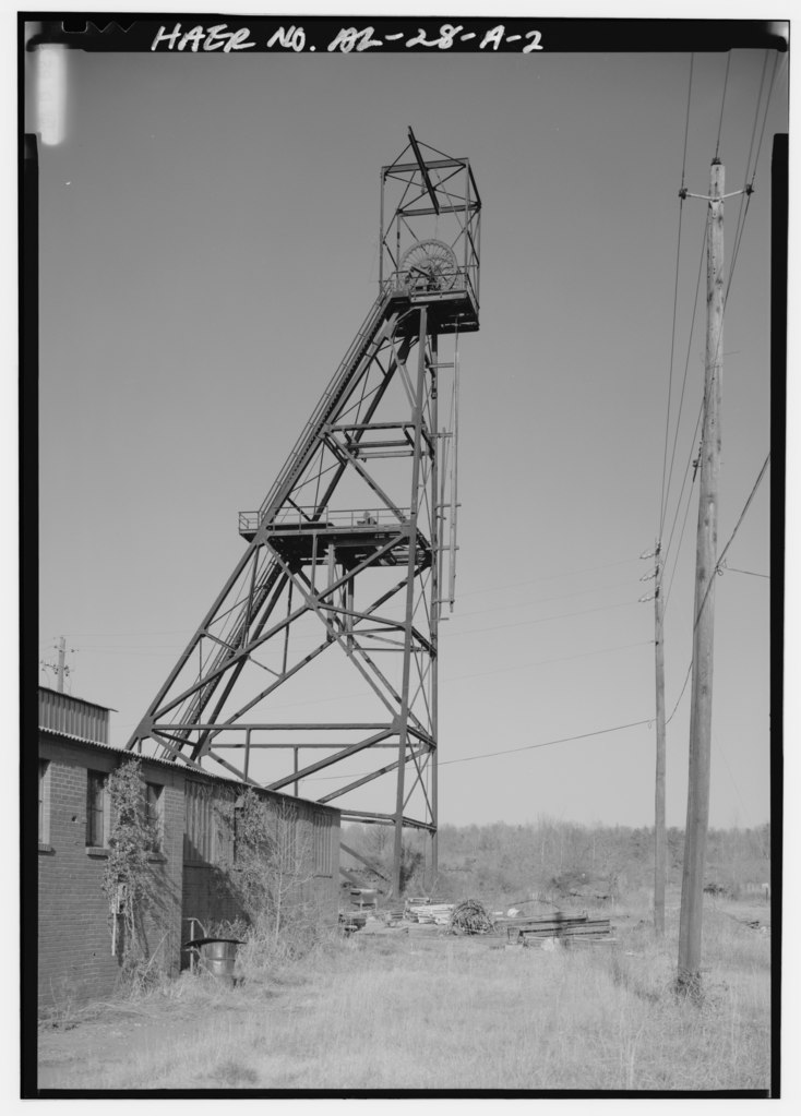
| HEADFRAME, LOOKING NORTH-NORTHWEST. - Pyne Red Ore Mine, Headframe, State Route 150, Bessemer, Jefferson County, AL | ||||
|---|---|---|---|---|
| Photographer |
Lowe, Jet |
|||
| Title |
HEADFRAME, LOOKING NORTH-NORTHWEST. - Pyne Red Ore Mine, Headframe, State Route 150, Bessemer, Jefferson County, AL |
|||
| Depicted place | Alabama; Jefferson County; Bessemer | |||
| Date | 1993 | |||
| Dimensions | 5 x 7 in. | |||
| Current location |
Library of Congress Prints and Photographs Division Washington, D.C. 20540 USA http://hdl.loc.gov/loc.pnp/pp.print |
|||
| Accession number |
HAER ALA,37-BES.V,9A-2 |
|||
| Credit line |
|
|||
| Notes |
|
|||
| Source | https://www.loc.gov/pictures/item/al1117.photos.046918p | |||
| Permission (Reusing this file) |
|
|||

| Object location | | View this and other nearby images on: OpenStreetMap |
|---|
File history
Click on a date/time to view the file as it appeared at that time.
| Date/Time | Thumbnail | Dimensions | User | Comment | |
|---|---|---|---|---|---|
| current | 01:07, 1 July 2014 |  | 3,586 × 5,000 (17.1 MB) | Fæ (talk | contribs) | GWToolset: Creating mediafile for Fæ. HABS batch upload 29 June 2014 (101:150) |
You cannot overwrite this file.
File usage on Commons
The following page uses this file: