File:Gokasho-kondo-cho district Aerial photograph.1982.jpg
Jump to navigation
Jump to search
Size of this preview: 800 × 579 pixels. Other resolutions: 320 × 231 pixels | 640 × 463 pixels | 1,024 × 741 pixels | 1,280 × 926 pixels | 2,626 × 1,899 pixels.
Original file (2,626 × 1,899 pixels, file size: 4.56 MB, MIME type: image/jpeg)
Captions
Captions
Add a one-line explanation of what this file represents
Summary[edit]
| Description |
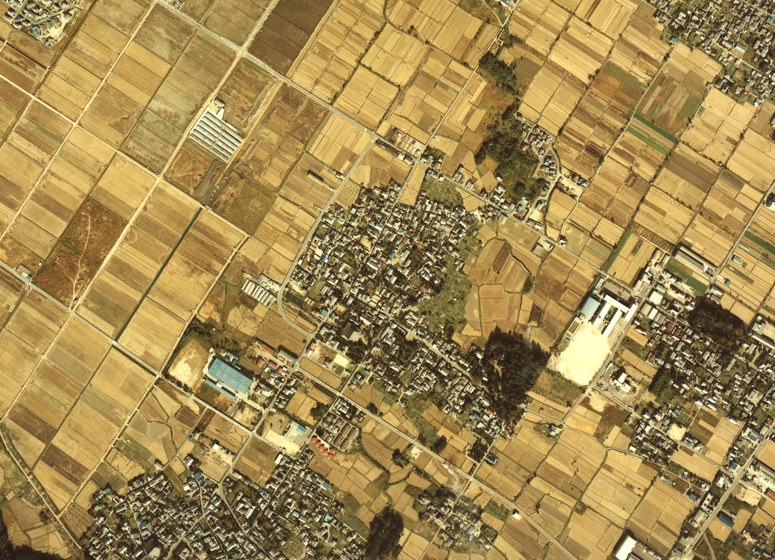
English: Gokasho-kondo-cho district Aerial photograph.1982
日本語: 五個荘金堂町重要伝統的建造物群保存地区(滋賀県東近江市)付近の空中写真。Ckk-82-1_c27b_15を利用。 |
| Date | |
| Source | 国土情報ウェブマッピングシステム |
| Author | 国土交通省 |
Licensing[edit]

|
The copyright holder of this file, the Ministry of Land, Infrastructure, Transport and Tourism of Japan, allows anyone to use it for any purpose, provided that the copyright holder is properly attributed. Redistribution, derivative work, commercial use, and all other use is permitted. |
Attribution:
Copyright © National Land Image Information (Color Aerial Photographs), Ministry of Land, Infrastructure, Transport and Tourism
|
 |
This image is copyrighted by the Ministry of Land, Infrastructure, Transport and Tourism of Japan. For terms of use, see the stipulation to use of National Land Information (in Japanese) and message from MLIT (in Japanese and English). When you display this image on an article, include the following phrase in the description: "Made based on National Land Image Information (Color Aerial Photographs), Ministry of Land, Infrastructure, Transport and Tourism".
|
File history
Click on a date/time to view the file as it appeared at that time.
| Date/Time | Thumbnail | Dimensions | User | Comment | |
|---|---|---|---|---|---|
| current | 03:02, 19 November 2013 | | 2,626 × 1,899 (4.56 MB) | さかおり (talk | contribs) | {{Information |Description ={{en|1=Gokasho-kondo-cho district Aerial photograph.1982}} {{ja|1=五個荘金堂町重要伝統的建造物群保存地区(滋賀県東近江市)付近の空中写真。Ckk-82-1_c27b_15を利用。}} |Source ... |
You cannot overwrite this file.
File usage on Commons
There are no pages that use this file.
File usage on other wikis
The following other wikis use this file:
- Usage on ja.wikipedia.org