File:Elm-Asse-Karte.png
Jump to navigation
Jump to search
No higher resolution available.
Elm-Asse-Karte.png (739 × 591 pixels, file size: 364 KB, MIME type: image/png)
Captions
Captions
Add a one-line explanation of what this file represents
| Description | |
| Date | |
| Source |
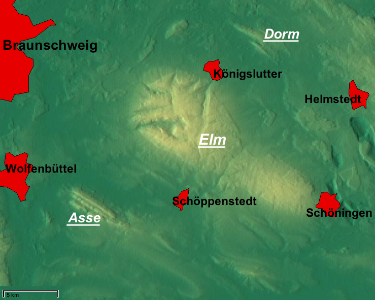
English: relief map from maps-for-free.com including 1 layer "admin areas" – slightly reworked (names added etc.) |
| Author | Maps for Free (cropped/reworked by bdk) |
| Permission (Reusing this file) |
CC-by-sa-3.0 – "All relief maps and layers are licensed under a Creative Commons Attribution Share Alike 3.0 License except the labeling layer and contour layer." |
This file is licensed under the Creative Commons Attribution-Share Alike 3.0 Unported license.
- You are free:
- to share – to copy, distribute and transmit the work
- to remix – to adapt the work
- Under the following conditions:
- attribution – You must give appropriate credit, provide a link to the license, and indicate if changes were made. You may do so in any reasonable manner, but not in any way that suggests the licensor endorses you or your use.
- share alike – If you remix, transform, or build upon the material, you must distribute your contributions under the same or compatible license as the original.
File history
Click on a date/time to view the file as it appeared at that time.
| Date/Time | Thumbnail | Dimensions | User | Comment | |
|---|---|---|---|---|---|
| current | 15:30, 8 April 2009 | | 739 × 591 (364 KB) | Mahahahaneapneap (talk | contribs) | Compressed |
| 13:42, 26 February 2008 |  | 739 × 591 (604 KB) | Bdk (talk | contribs) |
You cannot overwrite this file.
File usage on Commons
The following 2 pages use this file:
File usage on other wikis
The following other wikis use this file:
- Usage on ceb.wikipedia.org
- Usage on de.wikipedia.org
- Usage on en.wikipedia.org
- Usage on et.wikipedia.org
- Usage on fr.wikipedia.org
- Usage on it.wikipedia.org
- Usage on lld.wikipedia.org
- Usage on nds.wikipedia.org
- Usage on nl.wikipedia.org
- Usage on www.wikidata.org