File:Eclipse full map United States.pdf
Jump to navigation
Jump to search

Size of this JPG preview of this PDF file: 800 × 419 pixels. Other resolutions: 320 × 168 pixels | 640 × 335 pixels | 1,024 × 536 pixels | 1,280 × 670 pixels | 3,150 × 1,650 pixels.
Original file (3,150 × 1,650 pixels, file size: 5.28 MB, MIME type: application/pdf)
Captions
Captions
Add a one-line explanation of what this file represents

|
This file has been superseded by Eclipse full map United States.jpg. It is recommended to use the other file. Please note that deleting superseded images requires consent. Reason to use the other file: "A JPG version of this file is now available."
|
Summary[edit]
| Description |
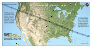
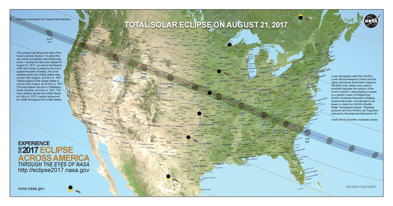
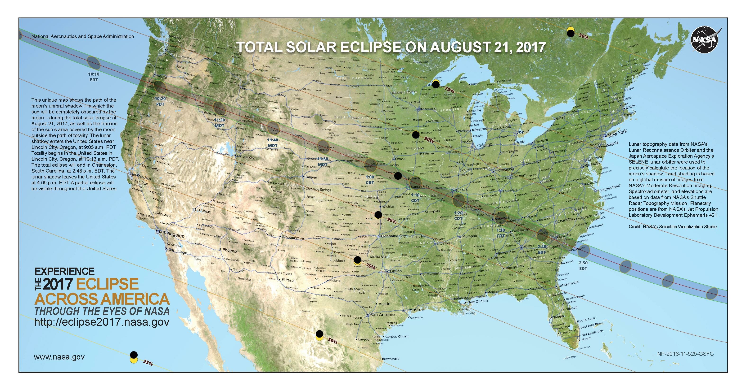
English: This unique map shows the path of the moon’s umbral shadow – in which the sun will be completely obscured by the moon – during the total solar eclipse of Aug. 21, 2017, as well as the fraction of the sun’s area covered by the moon outside the path of totality. The lunar shadow enters the United States near Lincoln City, Oregon, at 9:05 a.m. PDT. Totality begins in the United States in Lincoln City, Oregon, at 10:16 a.m. PDT. The total eclipse will end in Charleston, South Carolina, at 2:48 p.m. EDT. The lunar shadow leaves the United States at 4:09 p.m. EDT. A partial eclipse will be visible throughout the United States. |
| Date | |
| Source | https://eclipse2017.nasa.gov/sites/default/files/eclipse_full_map.pdf |
| Author | NASA |
Source Page: https://eclipse2017.nasa.gov/downloadables
Licensing[edit]
| This file is in the public domain in the United States because it was solely created by NASA. NASA copyright policy states that "NASA material is not protected by copyright unless noted". (See Template:PD-USGov, NASA copyright policy page or JPL Image Use Policy.) | ||
 |
Warnings:
|
File history
Click on a date/time to view the file as it appeared at that time.
| Date/Time | Thumbnail | Dimensions | User | Comment | |
|---|---|---|---|---|---|
| current | 23:14, 5 April 2017 |  | 3,150 × 1,650 (5.28 MB) | CmdrDan (talk | contribs) | User created page with UploadWizard |
You cannot overwrite this file.
File usage on Commons
The following 4 pages use this file: