File:EXTERIOR, FACADE - Providence and Worcester Railroad Station, 1 Depot Square, Woonsocket, Providence County, RI HABS RI,4-WOON,6-1.tif
Jump to navigation
Jump to search
Size of this JPG preview of this TIF file: 800 × 578 pixels. Other resolutions: 320 × 231 pixels | 640 × 462 pixels | 1,024 × 740 pixels | 1,280 × 924 pixels | 2,560 × 1,849 pixels | 5,000 × 3,611 pixels.
Original file (5,000 × 3,611 pixels, file size: 17.22 MB, MIME type: image/tiff)
Captions
Captions
Add a one-line explanation of what this file represents
Summary[edit]
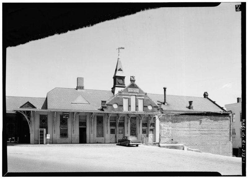
| EXTERIOR, FACADE - Providence and Worcester Railroad Station, 1 Depot Square, Woonsocket, Providence County, RI | ||||
|---|---|---|---|---|
| Title |
EXTERIOR, FACADE - Providence and Worcester Railroad Station, 1 Depot Square, Woonsocket, Providence County, RI |
|||
| Description |
Ellis, John W |
|||
| Depicted place | Rhode Island; Providence County; Woonsocket | |||
| Date | Documentation compiled after 1933 | |||
| Dimensions | 5 x 7 in. | |||
| Current location |
Library of Congress Prints and Photographs Division Washington, D.C. 20540 USA http://hdl.loc.gov/loc.pnp/pp.print |
|||
| Accession number |
HABS RI,4-WOON,6-1 |
|||
| Credit line |
|
|||
| Notes |
|
|||
| Source | https://www.loc.gov/pictures/item/ri0317.photos.146297p | |||
| Permission (Reusing this file) |
|
|||

| Camera location | | View this and other nearby images on: OpenStreetMap |
|---|
File history
Click on a date/time to view the file as it appeared at that time.
| Date/Time | Thumbnail | Dimensions | User | Comment | |
|---|---|---|---|---|---|
| current | 19:59, 1 August 2014 |  | 5,000 × 3,611 (17.22 MB) | Fæ (talk | contribs) | GWToolset: Creating mediafile for Fæ. HABS 31 July 2014 (3000:3200) |
You cannot overwrite this file.
File usage on Commons
The following page uses this file: