File:ETH-BIB-Stadt (Porto Alegre) gesehen aus HB-ILO-Weitere-LBS MH05-89-07.tiff
Jump to navigation
Jump to search

Size of this JPG preview of this TIF file: 800 × 537 pixels. Other resolutions: 320 × 215 pixels | 640 × 430 pixels | 1,024 × 687 pixels | 1,280 × 859 pixels | 2,560 × 1,718 pixels | 4,909 × 3,295 pixels.
Original file (4,909 × 3,295 pixels, file size: 46.35 MB, MIME type: image/tiff)
Captions
Captions
Add a one-line explanation of what this file represents
Summary[edit]
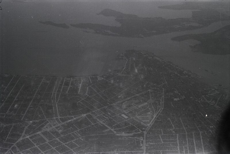
| Stadt gesehen aus HB-ILO
( |
|||||||||||||||||||||||||||
|---|---|---|---|---|---|---|---|---|---|---|---|---|---|---|---|---|---|---|---|---|---|---|---|---|---|---|---|
| Photographer |
|
||||||||||||||||||||||||||
| Title |
Stadt gesehen aus HB-ILO |
||||||||||||||||||||||||||
| Depicted place | Porto Alegre | ||||||||||||||||||||||||||
| Date | between 1931 and 1937 | ||||||||||||||||||||||||||
| Medium | Fotografie : Negativ | ||||||||||||||||||||||||||
| Dimensions | height: 2.4 cm (0.9 in); width: 3.6 cm (1.4 in) | ||||||||||||||||||||||||||
| Collection |
|
||||||||||||||||||||||||||
| Accession number |
ETH-Bibliothek_LBS_MH05-89-07 |
||||||||||||||||||||||||||
| Notes | HB-ILO, ca. 1931-1937. Reportage mit 33 Bildern (alle digitalisiert) | ||||||||||||||||||||||||||
| Source |
E-Pics Bildarchiv online http://doi.org/10.3932/ethz-a-000499919
|
||||||||||||||||||||||||||
| Permission (Reusing this file) |
|
||||||||||||||||||||||||||


| Camera location | | View this and other nearby images on: OpenStreetMap |
|---|
| Object location | | View this and other nearby images on: OpenStreetMap |
|---|
File history
Click on a date/time to view the file as it appeared at that time.
| Date/Time | Thumbnail | Dimensions | User | Comment | |
|---|---|---|---|---|---|
| current | 15:16, 24 August 2016 |  | 4,909 × 3,295 (46.35 MB) | ETH-Bibliothek (talk | contribs) | GWToolset: Creating mediafile for ETH-Bibliothek. |
You cannot overwrite this file.
File usage on Commons
The following 2 pages use this file: