File:Detail of connection of end portal, top chord, diagonal, vertical and portal strut. Looking at east end, north side of east span. - Boomershine Bridge, Spanning Twin Creek, HAER OHIO,57-FARMV.V,1-13.tif
Jump to navigation
Jump to search

Size of this JPG preview of this TIF file: 472 × 600 pixels. Other resolutions: 189 × 240 pixels | 378 × 480 pixels | 604 × 768 pixels | 806 × 1,024 pixels | 1,611 × 2,048 pixels | 3,934 × 5,000 pixels.
Original file (3,934 × 5,000 pixels, file size: 18.76 MB, MIME type: image/tiff)
Captions
Captions
Add a one-line explanation of what this file represents
Summary[edit]
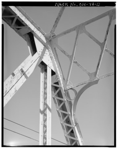
| Detail of connection of end portal, top chord, diagonal, vertical and portal strut. Looking at east end, north side of east span. - Boomershine Bridge, Spanning Twin Creek, Farmersville, Montgomery County, OH | ||||
|---|---|---|---|---|
| Photographer |
Gerhard, Amy |
|||
| Title |
Detail of connection of end portal, top chord, diagonal, vertical and portal strut. Looking at east end, north side of east span. - Boomershine Bridge, Spanning Twin Creek, Farmersville, Montgomery County, OH |
|||
| Depicted place | Ohio; Montgomery County; Farmersville | |||
| Date | 1991 | |||
| Dimensions | 4 x 5 in. | |||
| Current location |
Library of Congress Prints and Photographs Division Washington, D.C. 20540 USA http://hdl.loc.gov/loc.pnp/pp.print |
|||
| Accession number |
HAER OHIO,57-FARMV.V,1-13 |
|||
| Credit line |
|
|||
| Notes |
|
|||
| Source | https://www.loc.gov/pictures/item/oh1647.photos.352417p | |||
| Permission (Reusing this file) |
|
|||

| Object location | | View this and other nearby images on: OpenStreetMap |
|---|
File history
Click on a date/time to view the file as it appeared at that time.
| Date/Time | Thumbnail | Dimensions | User | Comment | |
|---|---|---|---|---|---|
| current | 15:54, 30 July 2014 |  | 3,934 × 5,000 (18.76 MB) | Fæ (talk | contribs) | GWToolset: Creating mediafile for Fæ. HABS 30 July 2014 (2601:2900) |
You cannot overwrite this file.
File usage on Commons
The following page uses this file: