File:DETAIL OF KEY CITY HOUSE (304 MAIN) ON 300 BLOCK OF MAIN STREET. VIEW TO EAST. - Dubuque Commercial and Industrial Buildings, Dubuque, Dubuque County, IA HABS IOWA,31-DUBU,13-70.tif
Jump to navigation
Jump to search

Size of this JPG preview of this TIF file: 479 × 600 pixels. Other resolutions: 192 × 240 pixels | 383 × 480 pixels | 613 × 768 pixels | 818 × 1,024 pixels | 1,636 × 2,048 pixels | 3,994 × 5,000 pixels.
Original file (3,994 × 5,000 pixels, file size: 19.05 MB, MIME type: image/tiff)
Captions
Captions
Add a one-line explanation of what this file represents
Summary[edit]
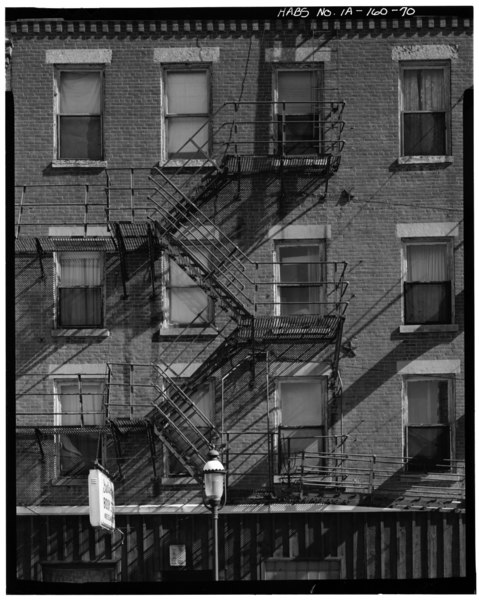
| DETAIL OF KEY CITY HOUSE (304 MAIN) ON 300 BLOCK OF MAIN STREET. VIEW TO EAST. - Dubuque Commercial and Industrial Buildings, Dubuque, Dubuque County, IA | ||||
|---|---|---|---|---|
| Title |
DETAIL OF KEY CITY HOUSE (304 MAIN) ON 300 BLOCK OF MAIN STREET. VIEW TO EAST. - Dubuque Commercial and Industrial Buildings, Dubuque, Dubuque County, IA |
|||
| Depicted place | Iowa; Dubuque County; Dubuque | |||
| Date | Documentation compiled after 1933 | |||
| Dimensions | 4 x 5 in. | |||
| Current location |
Library of Congress Prints and Photographs Division Washington, D.C. 20540 USA http://hdl.loc.gov/loc.pnp/pp.print |
|||
| Accession number |
HABS IOWA,31-DUBU,13-70 |
|||
| Credit line |
|
|||
| Notes |
|
|||
| Source | https://www.loc.gov/pictures/item/ia0179.photos.066793p | |||
| Permission (Reusing this file) |
|
|||

| Object location | | View this and other nearby images on: OpenStreetMap |
|---|
File history
Click on a date/time to view the file as it appeared at that time.
| Date/Time | Thumbnail | Dimensions | User | Comment | |
|---|---|---|---|---|---|
| current | 20:00, 13 July 2014 |  | 3,994 × 5,000 (19.05 MB) | Fæ (talk | contribs) | GWToolset: Creating mediafile for Fæ. HABS 11 July 2014 (1001:1200) |
You cannot overwrite this file.
File usage on Commons
The following page uses this file: