File:DETAIL OF DATE PLATE AT SOUTH INCLINED END POST - Blue Rock Road Bridge, Spanning Great Miami River, New Baltimore, Hamilton County, OH HAER OHIO,31-NEBAL.V,1-3.tif
Jump to navigation
Jump to search

Size of this JPG preview of this TIF file: 745 × 600 pixels. Other resolutions: 298 × 240 pixels | 596 × 480 pixels | 954 × 768 pixels | 1,272 × 1,024 pixels | 2,544 × 2,048 pixels | 5,000 × 4,026 pixels.
Original file (5,000 × 4,026 pixels, file size: 19.2 MB, MIME type: image/tiff)
Captions
Captions
Add a one-line explanation of what this file represents
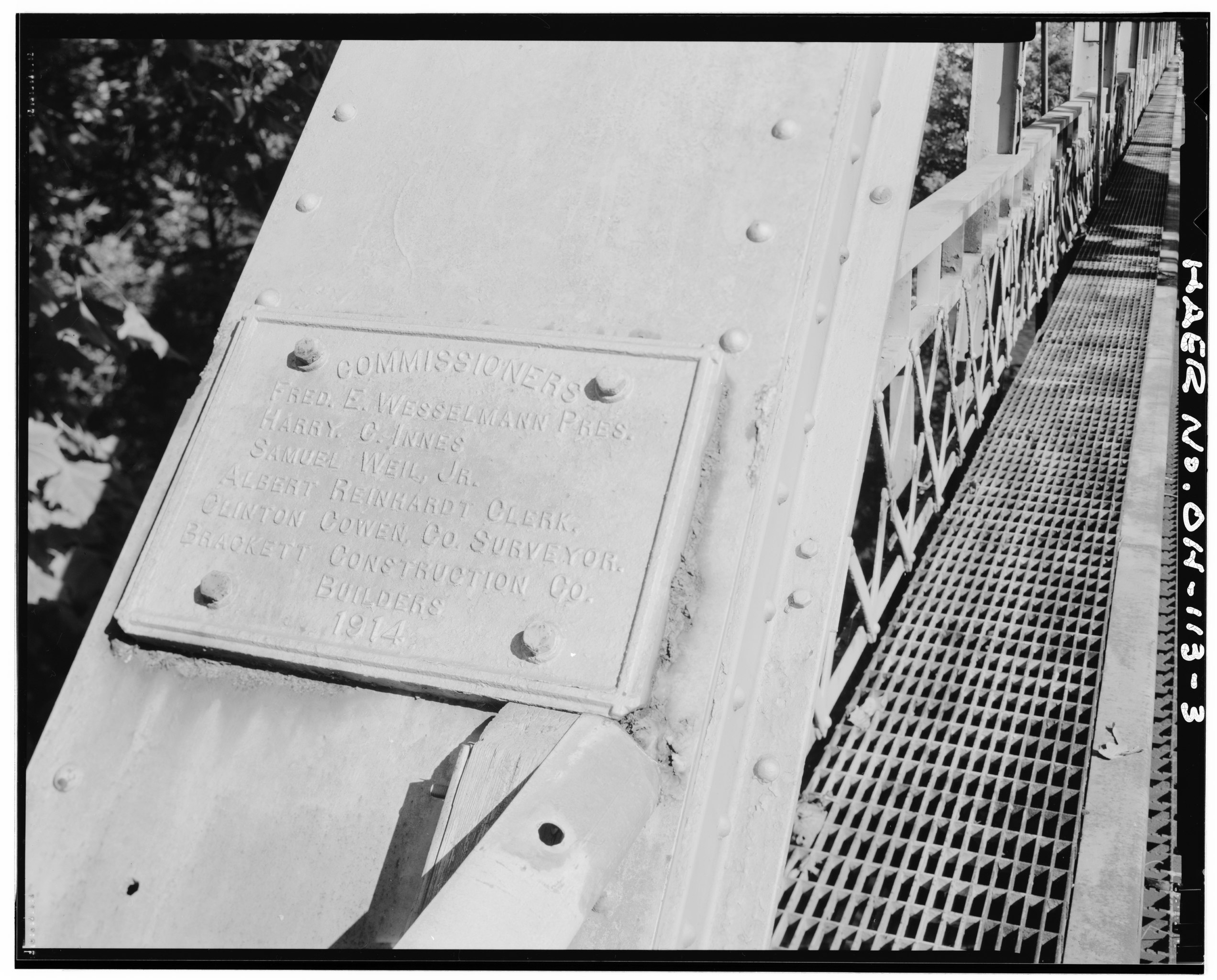
| DETAIL OF DATE PLATE AT SOUTH INCLINED END POST - Blue Rock Road Bridge, Spanning Great Miami River, New Baltimore, Hamilton County, OH | ||||
|---|---|---|---|---|
| Photographer |
Faux, Caleb |
|||
| Title |
DETAIL OF DATE PLATE AT SOUTH INCLINED END POST - Blue Rock Road Bridge, Spanning Great Miami River, New Baltimore, Hamilton County, OH |
|||
| Depicted place | Ohio; Hamilton County; New Baltimore | |||
| Date | 1996 | |||
| Dimensions | 4 x 5 in. | |||
| Current location |
Library of Congress Prints and Photographs Division Washington, D.C. 20540 USA http://hdl.loc.gov/loc.pnp/pp.print |
|||
| Accession number |
HAER OHIO,31-NEBAL.V,1-3 |
|||
| Credit line |
|
|||
| Notes |
|
|||
| Source | https://www.loc.gov/pictures/item/oh1787.photos.353390p | |||
| Permission (Reusing this file) |
|
|||

| Object location | | View this and other nearby images on: OpenStreetMap |
|---|
File history
Click on a date/time to view the file as it appeared at that time.
| Date/Time | Thumbnail | Dimensions | User | Comment | |
|---|---|---|---|---|---|
| current | 00:06, 2 August 2014 |  | 5,000 × 4,026 (19.2 MB) | Fæ (talk | contribs) | GWToolset: Creating mediafile for Fæ. HABS 2014-08-01 2601-2900 missing |
You cannot overwrite this file.
File usage on Commons
The following page uses this file: