File:Copy Photograph (original negative in possession of LSA Associates, Irvine, California) Beth Padon, Photographer, 1985 BOYD FARMSTEAD IN RELATION TO I-5, LOOKING SOUTHWEST - HABS CAL,30-IRV,1-B-18.tif
Jump to navigation
Jump to search

Size of this JPG preview of this TIF file: 749 × 600 pixels. Other resolutions: 300 × 240 pixels | 600 × 480 pixels | 959 × 768 pixels | 1,279 × 1,024 pixels | 2,558 × 2,048 pixels | 5,181 × 4,148 pixels.
Original file (5,181 × 4,148 pixels, file size: 20.5 MB, MIME type: image/tiff)
Captions
Captions
Add a one-line explanation of what this file represents
Summary[edit]
| Title |
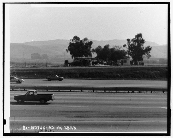
Copy Photograph (original negative in possession of LSA Associates, Irvine, California) Beth Padon, Photographer, 1985 BOYD FARMSTEAD IN RELATION TO I-5, LOOKING SOUTHWEST - Irvine Ranch Agricultural Headquarters, Boyd Tenant House, Southeast of Intersection of San Diego and Santa Ana Freeways, Irvine, Orange County, CA |
|||
| Depicted place | California; Orange County; Irvine | |||
| Date | Documentation compiled after 1933 | |||
| Dimensions | 4 x 5 in. | |||
| Current location |
Library of Congress Prints and Photographs Division Washington, D.C. 20540 USA http://hdl.loc.gov/loc.pnp/pp.print |
|||
| Accession number |
HABS CAL,30-IRV,1-B-18 |
|||
| Credit line |
|
|||
| Notes |
|
|||
| Source | https://www.loc.gov/pictures/item/ca1550.photos.362889p | |||
| Permission (Reusing this file) |
|

| Object location | | View this and other nearby images on: OpenStreetMap |
|---|
File history
Click on a date/time to view the file as it appeared at that time.
| Date/Time | Thumbnail | Dimensions | User | Comment | |
|---|---|---|---|---|---|
| current | 20:17, 3 July 2014 |  | 5,181 × 4,148 (20.5 MB) | Fæ (talk | contribs) | GWToolset: Creating mediafile for Fæ. HABS batch upload 2 July 2014 (301:400) |
You cannot overwrite this file.
File usage on Commons
The following page uses this file: