File:Cassini map - Ochsenstein detail.jpg
Jump to navigation
Jump to search
No higher resolution available.
Cassini_map_-_Ochsenstein_detail.jpg (472 × 308 pixels, file size: 132 KB, MIME type: image/jpeg)
Captions
Captions
Add a one-line explanation of what this file represents
| Description |
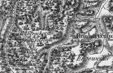
Français : Carte de Cassini centrée sur Ochsenstein |
|||||
| Date | 18th century | |||||
| Source | Carte de Cassini, BNF | |||||
| Author | Cassini | |||||
| Permission (Reusing this file) |
|
|||||
File history
Click on a date/time to view the file as it appeared at that time.
| Date/Time | Thumbnail | Dimensions | User | Comment | |
|---|---|---|---|---|---|
| current | 13:53, 16 December 2011 | | 472 × 308 (132 KB) | Pethrus (talk | contribs) | {{Information |Description={{fr|Carte de Cassini centrée sur Ochsenstein}} |Source=Carte de Cassini, BNF |Date=XVIIIth century |Author=Cassini |Permission={{PD-Art}} |other_versions= }} Category:Castle of Ochsenstein Category:Old maps of Alsace |
You cannot overwrite this file.
File usage on Commons
There are no pages that use this file.