File:CENTRAL PIER WITH BRIDGE SEGMENTS. - Whittlesey Road Bridge, Spanning Black River at Whittlesey Road, Lyons Falls, Lewis County, NY HAER NY,25-LYFA,1-3.tif
Jump to navigation
Jump to search

Size of this JPG preview of this TIF file: 800 × 582 pixels. Other resolutions: 320 × 233 pixels | 640 × 465 pixels | 1,024 × 744 pixels | 1,280 × 931 pixels | 2,560 × 1,861 pixels | 5,000 × 3,635 pixels.
Original file (5,000 × 3,635 pixels, file size: 17.34 MB, MIME type: image/tiff)
Captions
Captions
Add a one-line explanation of what this file represents
Summary[edit]
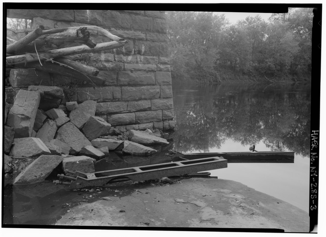
| CENTRAL PIER WITH BRIDGE SEGMENTS. - Whittlesey Road Bridge, Spanning Black River at Whittlesey Road, Lyons Falls, Lewis County, NY | ||||
|---|---|---|---|---|
| Photographer |
Lowe, Jet |
|||
| Title |
CENTRAL PIER WITH BRIDGE SEGMENTS. - Whittlesey Road Bridge, Spanning Black River at Whittlesey Road, Lyons Falls, Lewis County, NY |
|||
| Depicted place | New York; Lewis County; Lyons Falls | |||
| Date | 1994 | |||
| Dimensions | 5 x 7 in. | |||
| Current location |
Library of Congress Prints and Photographs Division Washington, D.C. 20540 USA http://hdl.loc.gov/loc.pnp/pp.print |
|||
| Accession number |
HAER NY,25-LYFA,1-3 |
|||
| Credit line |
|
|||
| Notes |
|
|||
| Source | https://www.loc.gov/pictures/item/ny1768.photos.351135p | |||
| Permission (Reusing this file) |
|
|||

| Object location | | View this and other nearby images on: OpenStreetMap |
|---|
File history
Click on a date/time to view the file as it appeared at that time.
| Date/Time | Thumbnail | Dimensions | User | Comment | |
|---|---|---|---|---|---|
| current | 08:43, 1 August 2014 |  | 5,000 × 3,635 (17.34 MB) | Fæ (talk | contribs) | GWToolset: Creating mediafile for Fæ. HABS 31 July 2014 (2301:2600) |
You cannot overwrite this file.
File usage on Commons
The following page uses this file: