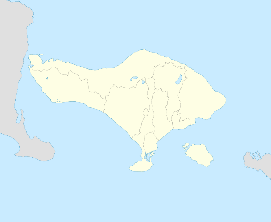
File:Bali Locator Map.svg
Jump to navigation
Jump to search

Size of this PNG preview of this SVG file: 731 × 599 pixels. Other resolutions: 293 × 240 pixels | 586 × 480 pixels | 937 × 768 pixels | 1,249 × 1,024 pixels | 2,498 × 2,048 pixels | 2,104 × 1,725 pixels.
Original file (SVG file, nominally 2,104 × 1,725 pixels, file size: 66 KB)
Captions
Captions
Add a one-line explanation of what this file represents
Summary[edit]
| Description | |
| Date | |
| Source | Own work |
| Georeferencing | If inappropriate please set warp_status = skip to hide. |
| Other versions |
|
| SVG development |

Derivative works of this file: Map of Bukit (OSM, ru).png
.png)
Licensing[edit]
I, the copyright holder of this work, hereby publish it under the following license:
This file is licensed under the Creative Commons Attribution-Share Alike 3.0 Unported license.
- You are free:
- to share – to copy, distribute and transmit the work
- to remix – to adapt the work
- Under the following conditions:
- attribution – You must give appropriate credit, provide a link to the license, and indicate if changes were made. You may do so in any reasonable manner, but not in any way that suggests the licensor endorses you or your use.
- share alike – If you remix, transform, or build upon the material, you must distribute your contributions under the same or compatible license as the original.
File history
Click on a date/time to view the file as it appeared at that time.
| Date/Time | Thumbnail | Dimensions | User | Comment | |
|---|---|---|---|---|---|
| current | 00:32, 5 September 2013 | | 2,104 × 1,725 (66 KB) | Blackfish (talk | contribs) | kabupaten added |
| 21:43, 4 September 2013 |  | 2,104 × 1,725 (55 KB) | Blackfish (talk | contribs) | User created page with UploadWizard |
You cannot overwrite this file.
File usage on Commons
The following page uses this file:
File usage on other wikis
The following other wikis use this file:
- Usage on en.wikipedia.org
- Usage on es.wikipedia.org
- Usage on pl.wikipedia.org
- Usage on pl.wikibooks.org
- Usage on pt.wikipedia.org
- Predefinição:Mapa de localização/Bali
- Pura Tirta Empul
- Ubud
- Singaraja
- Cuta
- Tanah Lot
- Pura Uluwatu
- Pura Ulun Danu Bratan
- Gunung Kawi
- Pura (templo)
- Predefinição:Mapa de localização de templos hindus do Bali
- Pura Besakih
- Pura Dalem Agung Padangtegal
- Pura Meduwe Karang
- Pura Ulun Danu Batur
- Pura Taman Ayun
- Goa Gajah
- Tirta Gangga
- Usage on ru.wikipedia.org