File:Aerial View of the frozen Geroldsee(146415349).jpg
Jump to navigation
Jump to search

Size of this preview: 800 × 600 pixels. Other resolutions: 320 × 240 pixels | 640 × 480 pixels | 1,024 × 768 pixels | 1,280 × 959 pixels | 2,048 × 1,535 pixels.
Original file (2,048 × 1,535 pixels, file size: 608 KB, MIME type: image/jpeg)
Captions
Captions
Add a one-line explanation of what this file represents
Summary[edit]
.jpg&action=edit§ion=1)
| Aerial View | |
|---|---|
| Photographer | |
| Title |
Aerial View |
| Description |
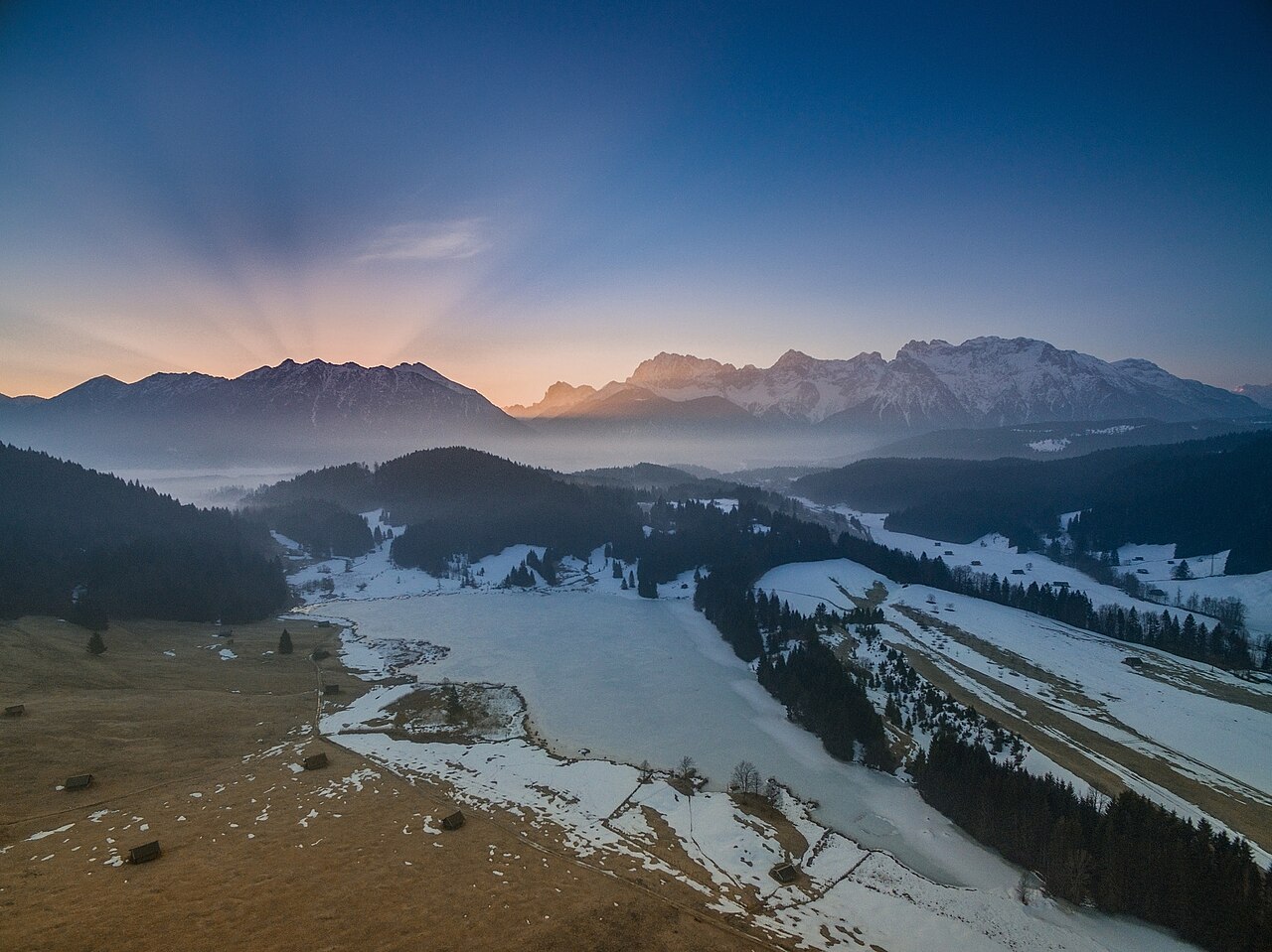
500px provided description: A Aerial View over the Lake Gerold/ Bavaria/ Germany weith Dji Phantom 3 pro. The First Sunlights :-) [#Landscape ,#Colors ,#Sunrise ,#Landscapes ,#Lake ,#Sun ,#Sky ,#Mountain ,#Mountains ,#Germany ,#Flight ,#Sunshine ,#Ice ,#Sunlight ,#Air ,#Colorful ,#Bavaria ,#Foggy ,#Heaven] |
| Date | 20 March 2016, 10:35:51 (UTC) |
| Source | Imported from 500px (archived version) by the Archive Team. (detail page) |
| Permission (Reusing this file) |
This file is licensed under the Creative Commons Attribution 3.0 Unported license.
|
| Camera location | | View this and other nearby images on: OpenStreetMap |
|---|
.jpg¶ms=047.494274_N_0011.214926_E_globe:Earth_type:camera__&language=en)
| Annotations | This image is annotated: View the annotations at Commons |
.jpg)
File history
Click on a date/time to view the file as it appeared at that time.
| Date/Time | Thumbnail | Dimensions | User | Comment | |
|---|---|---|---|---|---|
| current | 10:54, 22 October 2018 | | 2,048 × 1,535 (608 KB) | Rodrigo.Argenton (talk | contribs) | Photo Aerial View imported from 500px with import-500px |
You cannot overwrite this file.
File usage on Commons
The following 3 pages use this file:
.jpeg&redirect=no)
.jpg)
.jpg&oldid=822645965)