File:Administrative areas of New Brunswick with First Nations lands map-7 sites -fr.svg
Jump to navigation
Jump to search

Size of this PNG preview of this SVG file: 610 × 600 pixels. Other resolutions: 244 × 240 pixels | 488 × 480 pixels | 781 × 768 pixels | 1,042 × 1,024 pixels | 2,083 × 2,048 pixels | 2,237 × 2,199 pixels.
Original file (SVG file, nominally 2,237 × 2,199 pixels, file size: 1.61 MB)
Captions
Captions
Add a one-line explanation of what this file represents
Summary[edit]
| Description |
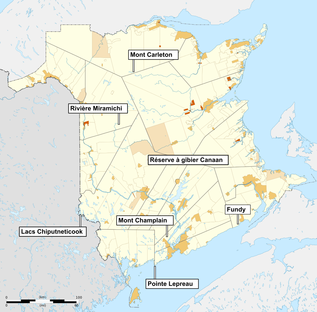
Français : Carte muette des divisions administratives du Nouveau-Brunswick, au Canada, incluant les réserves indiennes. Légende : District de services locaux Communauté rurale Municipalité Réserve indienne Chaque zone peut être sélectionnée et colorée séparément. Elles ont toutes un identifiant unique, facile à trouver (par exemple, Ctrl+F dans Inkscape). Voir les listes des zones ci-dessous. Projection équirectangulaire, système géodétique WGS84. *Méridien de référence : 66.4° O *Parallèle de référence: 46.4° N Limites géographiques de la carte : *Ouest : 69.2° O *Est : 63.6° O *Nord : 48.3° N *Sud : 44.5° NEnglish: Blank map of administrative areas of New Brunswick, Canada, including indian reservations. Legend: Local service district Rural community Municipality Indian reservation Each area can be selected and colored separately. It have an unique ID, easi to find (for example, Ctrl+F in Inkscape). See the area lists below. Equirectangular projection, WGS84 datum *Standard meridian: 66.4° W *True scale parallel: 46.4° N Geographic limits of the map: *West: 69.2° W *East: 63.6° W *North: 48.3° N *South: 44.5° N |
| Date | |
| Source | |
| Author |
|
| This is a retouched picture, which means that it has been digitally altered from its original version. Modifications: +7 sites candidats pour le Parc National (finalement ). The original can be viewed here: Administrative areas of New Brunswick with First Nations lands map-blank.svg:
|
Licensing[edit]
I, the copyright holder of this work, hereby publish it under the following license:
This file is licensed under the Creative Commons Attribution-Share Alike 3.0 Unported license.
- You are free:
- to share – to copy, distribute and transmit the work
- to remix – to adapt the work
- Under the following conditions:
- attribution – You must give appropriate credit, provide a link to the license, and indicate if changes were made. You may do so in any reasonable manner, but not in any way that suggests the licensor endorses you or your use.
- share alike – If you remix, transform, or build upon the material, you must distribute your contributions under the same or compatible license as the original.
Original upload log[edit]
This image is a derivative work of the following images:
- File:Administrative_areas_of_New_Brunswick_with_First_Nations_lands_map-blank.svg licensed with Cc-by-sa-3.0
- 2011-10-14T16:34:08Z Dr Wilson 2237x2199 (1598720 Bytes)
Uploaded with derivativeFX
File history
Click on a date/time to view the file as it appeared at that time.
| Date/Time | Thumbnail | Dimensions | User | Comment | |
|---|---|---|---|---|---|
| current | 00:24, 25 May 2014 | | 2,237 × 2,199 (1.61 MB) | Red Castle (talk | contribs) | Mise à jour Hanwell et Cocagne |
| 17:43, 12 August 2012 |  | 2,237 × 2,199 (1.61 MB) | Dr Wilson (talk | contribs) | Kedgwick est désormais une communauté rurale. | |
| 11:57, 13 November 2011 |  | 2,237 × 2,199 (1.61 MB) | Bourrichon (talk | contribs) | correction | |
| 22:06, 12 November 2011 |  | 2,237 × 2,199 (1.61 MB) | Bourrichon (talk | contribs) | bug typo | |
| 22:03, 12 November 2011 |  | 2,237 × 2,199 (1.54 MB) | Bourrichon (talk | contribs) | == {{int:filedesc}} == {{Information |Description={{fr|1=Carte muette des divisions administratives du Nouveau-Brunswick, au Canada, incluant les réserves indiennes.<br> Légende : {{Legend|#FEFEE4|District de services locaux|css=border:1px solid #AA8753 |
You cannot overwrite this file.
File usage on Commons
There are no pages that use this file.
File usage on other wikis
The following other wikis use this file:
- Usage on en.wikipedia.org
- Usage on fr.wikipedia.org