File:A plan of Quebec, metropolis of Canada in North America LOC 2017593659.tif
Jump to navigation
Jump to search
Size of this JPG preview of this TIF file: 800 × 593 pixels. Other resolutions: 320 × 237 pixels | 640 × 474 pixels | 1,024 × 759 pixels | 1,280 × 948 pixels | 2,560 × 1,896 pixels | 3,969 × 2,940 pixels.
Original file (3,969 × 2,940 pixels, file size: 33.39 MB, MIME type: image/tiff)
Captions
Captions
Add a one-line explanation of what this file represents
Summary[edit]
| Description |
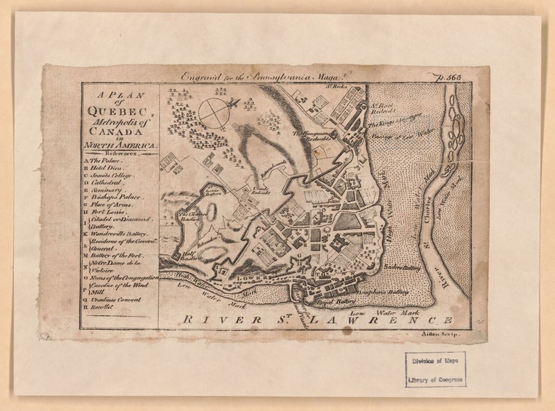
English: Relief shown by hachures. Shows fortifications. Oriented with north to the right. In upper right corner: p. 563. Appears in the Pennsylvania Magazine, December 1775, volume 1, page 563. Includes index. LC copy mounted on cloth backed paper. Wheat & Brun 1969, 90 LC Maps and charts of North America and the West Indies, 1750-1789, 601 Available also through the Library of Congress Web site as a raster image. |
||
| Title | A plan of Quebec, metropolis of Canada in North America | ||
| Shelf ID | G3454.Q4 1775 .P5 | ||
| Date | |||
| Source | https://www.loc.gov/item/2017593659/ | ||
| Author | Aitken, Robert | ||
| Permission (Reusing this file) |
|
||
| Other versions |
|
||
| Location | Canada · Québec · Québec. · Québec (Province) | ||
| Part of | Cities And Towns · Military Battles And Campaigns · Catalog · American Memory · Geography And Map Division · American Revolution And Its Era: Maps And Charts Of North America And The West Indies, 1750-1789 | ||
| Subject | Canada · Maps · Fortification · Québec (Québec) · Early Maps · Québec · Early Works To 1800 · Québec (Province) |


Licensing[edit]
|
This is a faithful photographic reproduction of a two-dimensional, public domain work of art. The work of art itself is in the public domain for the following reason:
The official position taken by the Wikimedia Foundation is that "faithful reproductions of two-dimensional public domain works of art are public domain".
This photographic reproduction is therefore also considered to be in the public domain in the United States. In other jurisdictions, re-use of this content may be restricted; see Reuse of PD-Art photographs for details. | ||||
File history
Click on a date/time to view the file as it appeared at that time.
| Date/Time | Thumbnail | Dimensions | User | Comment | |
|---|---|---|---|---|---|
| current | 05:17, 15 May 2018 |  | 3,969 × 2,940 (33.39 MB) | Fæ (talk | contribs) | LOC Maps https://www.loc.gov/item/2017593659/ #334 |
You cannot overwrite this file.
File usage on Commons
The following page uses this file: