File:AUSFAA.pdf
Jump to navigation
Jump to search

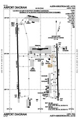
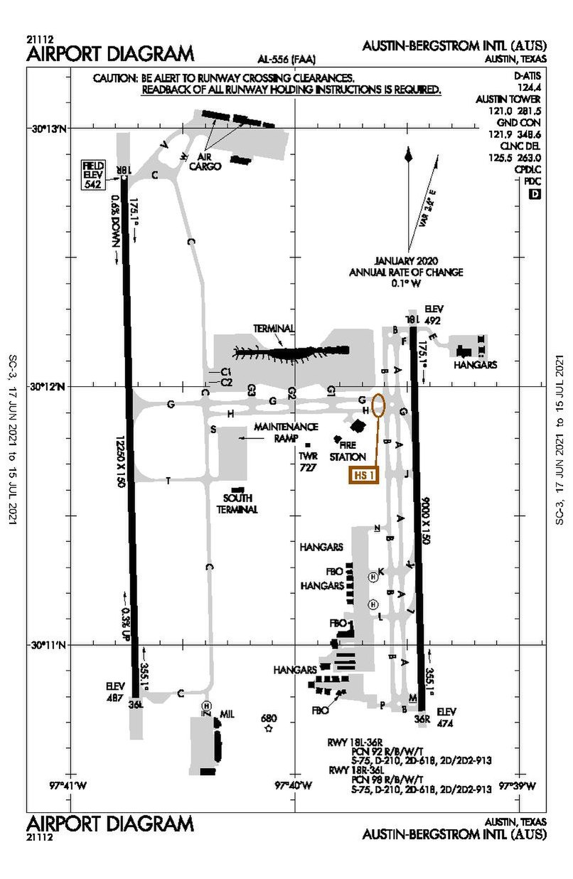
Size of this JPG preview of this PDF file: 390 × 599 pixels. Other resolutions: 156 × 240 pixels | 313 × 480 pixels | 806 × 1,237 pixels.
Original file (806 × 1,237 pixels, file size: 159 KB, MIME type: application/pdf)
Captions
Captions
ABIA FAA map
Summary[edit]
| Description |
English: The FAA map of ABIA |
| Date | |
| Source | Federal Aviation Administration |
| Author | FAA |
Licensing[edit]
This image or file is a work of a Federal Aviation Administration employee, taken or made as part of that person's official duties. As a work of the U.S. federal government, the image is in the public domain in the United States.
|
 |
File history
Click on a date/time to view the file as it appeared at that time.
| Date/Time | Thumbnail | Dimensions | User | Comment | |
|---|---|---|---|---|---|
| current | 16:54, 29 June 2021 |  | 806 × 1,237 (159 KB) | Bovineone (talk | contribs) | Updated to Jun 17, 2021 edition, which reflects both runways being renumbered to 18/36. |
| 14:11, 5 March 2021 | No thumbnail | 0 × 0 (170 KB) | Blissfield101 (talk | contribs) | Uploaded a work by FAA from Federal Aviation Administration with UploadWizard |
You cannot overwrite this file.
File usage on Commons
There are no pages that use this file.
File usage on other wikis
The following other wikis use this file:
- Usage on en.wikipedia.org
- Usage on es.wikipedia.org