File:2011-04-03-fort-motte-giron.jpg
Original file (4,024 × 2,840 pixels, file size: 12.26 MB, MIME type: image/jpeg)
Captions
Summary[edit]
Description2011-04-03-fort-motte-giron.jpg |
This file was uploaded with Commonist. This photograph was taken with a Nikon D300 |
||||||||||||||||||||||
Date | |||||||||||||||||||||||
Source | Own work | ||||||||||||||||||||||
Author |
|
Camera location | 47° 18′ 53.89″ N, 4° 59′ 09.09″ E | View this and other nearby images on: OpenStreetMap | 47.314970; 4.985858 |
---|
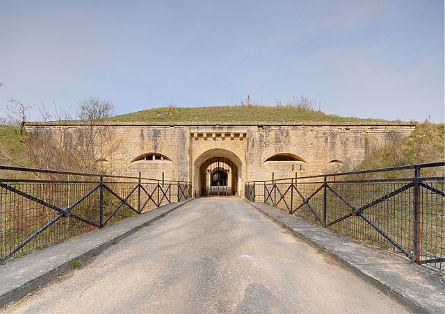
This building is inscrit au titre des monuments historiques de la France. It is indexed in the base Mérimée, a database of architectural heritage maintained by the French Ministry of Culture, under the reference PA21000034 .
brezhoneg ∙ català ∙ Deutsch ∙ English ∙ español ∙ Esperanto ∙ euskara ∙ français ∙ italiano ∙ magyar ∙ Nederlands ∙ português do Brasil ∙ português ∙ română ∙ sicilianu ∙ slovenščina ∙ suomi ∙ svenska ∙ Ελληνικά ∙ беларуская (тарашкевіца) ∙ македонски ∙ русский ∙ українська ∙ বাংলা ∙ +/− |
Licensing[edit]
- You are free:
- to share – to copy, distribute and transmit the work
- to remix – to adapt the work
- Under the following conditions:
- attribution – You must give appropriate credit, provide a link to the license, and indicate if changes were made. You may do so in any reasonable manner, but not in any way that suggests the licensor endorses you or your use.
This image has been assessed using the Quality image guidelines and is considered a Quality image.
العربية ∙ جازايرية ∙ беларуская ∙ беларуская (тарашкевіца) ∙ български ∙ বাংলা ∙ català ∙ čeština ∙ Cymraeg ∙ Deutsch ∙ Schweizer Hochdeutsch ∙ Zazaki ∙ Ελληνικά ∙ English ∙ Esperanto ∙ español ∙ eesti ∙ euskara ∙ فارسی ∙ suomi ∙ français ∙ galego ∙ עברית ∙ हिन्दी ∙ hrvatski ∙ magyar ∙ հայերեն ∙ Bahasa Indonesia ∙ italiano ∙ 日本語 ∙ Jawa ∙ ქართული ∙ 한국어 ∙ kurdî ∙ Lëtzebuergesch ∙ lietuvių ∙ македонски ∙ മലയാളം ∙ मराठी ∙ Bahasa Melayu ∙ Nederlands ∙ Norfuk / Pitkern ∙ polski ∙ português ∙ português do Brasil ∙ rumantsch ∙ română ∙ русский ∙ sicilianu ∙ slovenčina ∙ slovenščina ∙ shqip ∙ српски / srpski ∙ svenska ∙ தமிழ் ∙ తెలుగు ∙ ไทย ∙ Tagalog ∙ Türkçe ∙ toki pona ∙ українська ∙ vèneto ∙ Tiếng Việt ∙ 中文 ∙ 中文(简体) ∙ 中文(繁體) ∙ +/− |
File history
Click on a date/time to view the file as it appeared at that time.
Date/Time | Thumbnail | Dimensions | User | Comment | |
---|---|---|---|---|---|
current | 07:44, 5 April 2011 | 4,024 × 2,840 (12.26 MB) | ComputerHotline (talk | contribs) |
You cannot overwrite this file.
File usage on Commons
The following 6 pages use this file:
File usage on other wikis
The following other wikis use this file:
- Usage on fr.wikipedia.org
- Usage on www.wikidata.org
Metadata
This file contains additional information such as Exif metadata which may have been added by the digital camera, scanner, or software program used to create or digitize it. If the file has been modified from its original state, some details such as the timestamp may not fully reflect those of the original file. The timestamp is only as accurate as the clock in the camera, and it may be completely wrong.
Camera model | NIKON D300 |
---|---|
Author | Thomas Bresson |
Copyright holder | (C)2011 Thomas Bresson |
Exposure time | 100/31,999 sec (0.0031250976593019) |
F-number | f/8 |
ISO speed rating | 200 |
Date and time of data generation | 09:53, 3 April 2011 |
Lens focal length | 11.5 mm |
Latitude | 47° 18′ 53.89″ N |
Longitude | 4° 59′ 9.09″ E |
Altitude | 409 meters above sea level |
Headline | Fort de la Motte-Giron |
Image title | Fort de la Motte-Giron : entrée (HDR). |
City shown | Dijon |
File change date and time | 09:53, 3 April 2011 |
Date and time of digitizing | 09:53, 3 April 2011 |
GPS time (atomic clock) | 07:53 |
Geodetic survey data used | WGS-84 |
GPS date | 3 April 2011 |
GPS tag version | 0.0.2.2 |
Keywords |
|
Writer | Thomas Bresson |
IIM version | 4 |
Sublocation of city shown | Fort de la Motte-Giron |
Province or state shown | Bourgogne |
Code for country shown | FRA |
Country shown | France |
Structured data
Items portrayed in this file
depicts
47°18'53.89200"N, 4°59'9.08790"E
3 April 2011
image/jpeg
cab96811ad6f898639c020c5e1cc9ac6c66c3b69
12,853,019 byte
2,840 pixel
4,024 pixel
- Uploaded with Commonist
- Taken with Nikon D300
- Photos by ComputerHotline
- Base Mérimée
- Monuments historiques inscrits
- Mérimée with PA parameter
- Cultural heritage monuments in France with known IDs
- CC-BY-3.0
- Quality images
- Tone-mapped HDR images of France
- Created with Photomatix
- Quality Images by ComputerHotline
- France photographs taken on 2011-04-03
- Quality images of France
- Pages with maps