File:1862 Johnson Map of California, Nevada, Utah, Colorado, New Mexico and Arizona - Geographicus - CANMUT-johnson-1862.jpg
Jump to navigation
Jump to search

Size of this preview: 800 × 561 pixels. Other resolutions: 320 × 225 pixels | 640 × 449 pixels | 1,024 × 719 pixels | 1,280 × 898 pixels | 2,560 × 1,797 pixels | 5,000 × 3,509 pixels.
Original file (5,000 × 3,509 pixels, file size: 4.71 MB, MIME type: image/jpeg)
Captions
Captions
Add a one-line explanation of what this file represents
Summary[edit]
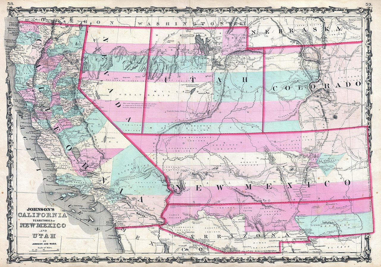
| Alvin Jewett Johnson: Johnson's California, Territories of New Mexico and Utah.
( |
|||||||||||||||||||||||
|---|---|---|---|---|---|---|---|---|---|---|---|---|---|---|---|---|---|---|---|---|---|---|---|
| Artist |
|
||||||||||||||||||||||
| Title |
Johnson's California, Territories of New Mexico and Utah. |
||||||||||||||||||||||
| Description |
English: 1862 Johnson Map of California, Nevada, Utah, Colorado, New Mexico, and Arizona.
|
||||||||||||||||||||||
| Date | 1862 (undated) | ||||||||||||||||||||||
| Dimensions | height: 17.5 in (44.4 cm); width: 24.5 in (62.2 cm) | ||||||||||||||||||||||
| Accession number |
Geographicus link: CANMUT-johnson-1862 |
||||||||||||||||||||||
| Source/Photographer |
Johnson, A. J., Johnson's New Illustrated (Steel Plate) Family Atlas with Descriptions, Geographical, Statistical, and Historical. (1862 A. J. Johnson & Ward edition)
|
||||||||||||||||||||||
| Permission (Reusing this file) |
|
||||||||||||||||||||||
File history
Click on a date/time to view the file as it appeared at that time.
| Date/Time | Thumbnail | Dimensions | User | Comment | |
|---|---|---|---|---|---|
| current | 19:26, 22 March 2011 | | 5,000 × 3,509 (4.71 MB) | BotMultichillT (talk | contribs) | {{subst:User:Multichill/Geographicus |link=http://www.geographicus.com/P/AntiqueMap/CANMUT-johnson-1862 |product_name=1862 Johnson Map of California, Nevada, Utah, Colorado, New Mexico and Arizona |map_title=Johnson's California, Territories of New Mexico |
You cannot overwrite this file.
File usage on Commons
The following page uses this file:
File usage on other wikis
The following other wikis use this file:
- Usage on fr.wikipedia.org
Categories:
- Maps by Alvin Jewett Johnson
- 1860s maps of Arizona
- 1860s maps of California
- 1860s maps of Colorado
- 1860s maps of Nebraska
- 1860s maps of Nevada
- 1860s maps of New Mexico
- 1860s maps of Utah
- Maps of the Southwestern United States
- Confederate Arizona
- Colorado Territory
- New Mexico Territory
- Nevada Territory
- Maps of Utah Territory
- Maps related to Mormonism
- 1862 maps of the United States
- 1862 in Arizona
- 1862 in New Mexico