Category:Topographic maps of the Balkans
Jump to navigation
Jump to search
English: Topographic maps of the Balkans region and mountain ranges.
Media in category "Topographic maps of the Balkans"
The following 28 files are in this category, out of 28 total.
-
 Balkanhalbinsel BV042762740.jpg 8,274 × 7,739; 6.23 MB
-
 Adriatic–Ionian motorway.jpg 1,400 × 1,278; 382 KB
-
 Balkan hu.svg 1,400 × 1,278; 507 KB
-
 Balkan mk.svg 1,400 × 1,278; 470 KB
-
 Balkan peninsula line (version without Kosovo).jpg 348 × 382; 43 KB
-
 Balkan peninsula line.jpg 558 × 530; 169 KB
-
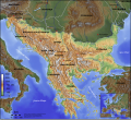
 Balkan topo de.jpg 1,400 × 1,278; 755 KB
-
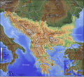
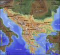
 Balkan topo en.jpg 840 × 767; 638 KB
-
 Balkan topo fr.svg 1,400 × 1,278; 466 KB
-
 Balkan topo hr.svg 1,400 × 1,278; 470 KB
-
 Balkan topo hu.png 1,400 × 1,278; 3.07 MB
-
 Balkan topo la.svg 1,400 × 1,278; 472 KB
-
 Balkan topo mk.jpg 1,400 × 1,278; 755 KB
-
 Balkan topo pl.jpg 1,400 × 1,278; 794 KB
-
 Balkan topo sr.svg 1,400 × 1,278; 466 KB
-
 Balkan topo tr.jpg 3,000 × 2,739; 5.45 MB
-
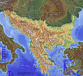
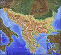
 Balkans relief location map.jpg 1,280 × 1,067; 303 KB
-
 Basemap for Afil.jpg 12,001 × 12,001; 12.01 MB
-
 Basemap for Afil.png 12,001 × 12,001; 92.4 MB
-
 Geographic map of Balkan Peninsul-es.svg 3,118 × 2,600; 14.47 MB
-
 Geographic map of Balkan Peninsula.svg 3,118 × 2,600; 13.82 MB
-
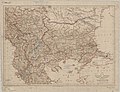 Map of the Balkan States showing communications.jpg 9,367 × 7,202; 10.65 MB
-
 Balkan topo blank.jpg 1,400 × 1,278; 705 KB
-
 Perperikon Delphi Balkan topo de.jpg 1,400 × 1,278; 1.17 MB
-
 Topografische kaart van het Balkanschiereiland (Nederlandse versie).png 1,400 × 1,278; 3.44 MB
-
 Vlahina.jpg 461 × 284; 181 KB
-
 WikiProject Balkans.png 251 × 269; 129 KB
-
 بالکان نقشه.jpg 150 × 137; 12 KB


.jpg)


.png)


