Category:Topographic maps of Huila Department
Jump to navigation
Jump to search
Media in category "Topographic maps of Huila Department"
The following 4 files are in this category, out of 4 total.
-
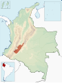 Colombia-deps-huila.svg 1,420 × 1,896; 875 KB
-
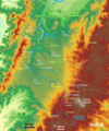
 Huila Topographic 2.png 1,703 × 1,770; 7.44 MB
-
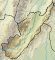 Huila Topographic.png 242 × 262; 115 KB
-
 Rio Cauca-Cauca-200dpi 2.png 1,070 × 1,287; 486 KB


