Category:SVG maps of the New York City Subway
Jump to navigation
Jump to search
Media in category "SVG maps of the New York City Subway"
The following 16 files are in this category, out of 16 total.
-
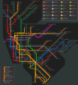 New York Subway Map Alargule.svg 1,409 × 1,539; 1.84 MB
-
 Nyc metro transit map 2023.svg 512 × 512; 3.27 MB
-
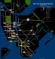 NYC subway late night map June2010.svg 2,500 × 2,700; 2.97 MB
-
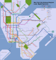 NYC subway late night map.svg 2,500 × 2,700; 3.49 MB
-
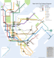
 NYC Subway map stations-es.svg 2,500 × 2,700; 3.28 MB
-
 NYC Subway map stations.svg 2,500 × 2,700; 3.07 MB
-
 NYC Subway number of tracks.svg 684 × 1,038; 144 KB
-
 Nyc subway underground or overground track position.svg 684 × 1,038; 206 KB
-
 NYC subway-4b-shrunk-2.svg 2,500 × 2,700; 2.91 MB
-
 NYC subway-4C.svg 2,500 × 2,700; 2.23 MB
-
 NYC subway-4D.svg 512 × 553; 2.63 MB
-
 NYCS map blank alt.svg 648 × 792; 384 KB
-
 NYCS map blank.svg 648 × 792; 375 KB
-
 NYCS map Contracts 1 2.svg 648 × 792; 393 KB
-
 NYCS map L shutdown plan.svg 648 × 792; 386 KB
-
 SAS Phase Map simple.svg 760 × 1,272; 97 KB


