Category:SVG maps of Tibet Autonomous Region
Jump to navigation
Jump to search
Media in category "SVG maps of Tibet Autonomous Region"
The following 16 files are in this category, out of 16 total.
-
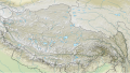
 Administrative Division Tibet (PRC claimed).svg 1,500 × 820; 2.21 MB
-
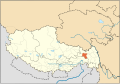
 China Tibet Autonomous Region adm location map.svg 2,013 × 1,137; 510 KB
-
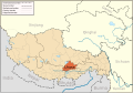
 China Tibet Autonomous Region rel location map.svg 2,013 × 1,137; 1.31 MB
-
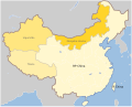
 China Tibet location map.svg 2,013 × 1,137; 465 KB
-
 China Tibet.svg 1,000 × 850; 135 KB
-
 Lhasa map.svg 1,520 × 1,059; 201 KB
-
 Lhorong County Tibet Locator Map.svg 1,520 × 1,059; 139 KB
-
 Mapa China.svg 290 × 234; 152 KB
-
 Nagqu map.svg 1,520 × 1,059; 223 KB
-
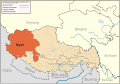 Ngari map.svg 1,520 × 1,059; 189 KB
-
 Nyingchi Prefecture map.svg 1,520 × 1,059; 209 KB
-
 Qamdo map.svg 1,520 × 1,059; 210 KB
-
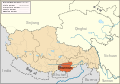 Shannan map.svg 1,520 × 1,059; 202 KB
-
 Shigatse map.svg 1,520 × 1,059; 183 KB
-
 Tibet&neighbors Locator map.svg 1,512 × 1,052; 107 KB
-
 Tibet&neighbors.svg 1,520 × 1,059; 210 KB
.svg)


