Category:SVG locator maps of provinces in North Korea (location map scheme)
Jump to navigation
Jump to search

|
SVG maps in this category are part of a locator map series applying the (de) widespread location map scheme. Please see root category to browse for more. |
.svg)
.svg)
.svg)
.svg)
.svg)
.svg)
.svg)
Locator maps design recommendations ▼ | |
|---|---|
Principles
Design Guidelines are based on ▸location map design of the German map shop (in German). It's preferable to derive new locator maps from existing location maps. Please keep both size and ratio in this case. Thus the new locator maps may still be applied as location map (▸Guide). Marker color is supposed to be darkred. Waterbodies may be transparent, to show other objects better. Please be aware that this guide is only a recommendation. It’s not an inevitable law!
Highlight small areas
“Remote” areas and mini maps
Mini maps show where the depicted area actually is situated. Check out ▸Vorlage:Positionskarte+ (in German) and ▸Modèle:Carte en coin (in French) of how to insert a mini map in virtually every map.
Disputed areas
Greyed special objects
Backgrounds
|

-en.svg)

.svg)
.svg)
.svg)

_(US48).svg)
_(small_islands_magnified)_(-mini_map_-rivers).svg)
.svg)
_(extra_close)_(US48).svg)
.svg)
_(zoom).svg)

.svg)


_(UNMIK).svg)
.svg)
_(disputed_hatched).svg)
_(claimed_and_disputed_hatched).svg)
.svg)
.svg)
_(%2Ball_claims_hatched).svg)

.svg)
_(shade).svg)
_(shade)_(special_marker).svg)
_(-mini_map).svg)
_(-mini_map).svg)
_(-mini_map).svg)


.svg)

.svg)
Media in category "SVG locator maps of provinces in North Korea (location map scheme)"
The following 26 files are in this category, out of 26 total.
-
 Chagang-do in North Korea 2010.svg 1,606 × 1,616; 413 KB
-
 Chagang-do in North Korea.svg 1,606 × 1,616; 767 KB
-
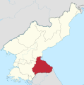
 Hamgyongbuk-do in North Korea 2010.svg 1,606 × 1,616; 323 KB
-
 Hamgyongbuk-do in North Korea.svg 1,606 × 1,616; 767 KB
-
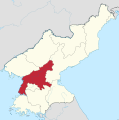
 Hamgyongnam-do in North Korea 2010.svg 1,606 × 1,616; 323 KB
-
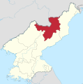
 Hamgyongnam-do in North Korea.svg 1,606 × 1,616; 767 KB
-
 Hwanghaebuk-do in North Korea 2010.svg 1,606 × 1,616; 317 KB
-
 Hwanghaebuk-do in North Korea.svg 1,606 × 1,616; 770 KB
-
 Hwanghaenam-do in North Korea 2010.svg 1,606 × 1,616; 323 KB
-
 Hwanghaenam-do in North Korea.svg 1,606 × 1,616; 767 KB
-
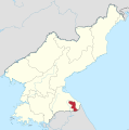
 Kaesong in North Korea 2010.svg 1,606 × 1,616; 324 KB
-
 Kangwon-do in North Korea 2010.svg 1,606 × 1,616; 318 KB
-
 Kangwon-do in North Korea.svg 1,606 × 1,616; 767 KB
-
 Kumgangsan in North Korea 2010.svg 1,606 × 1,616; 309 KB
-
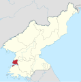 Nampho-teukbyeolsi in North Korea 2010.svg 1,606 × 1,616; 313 KB
-
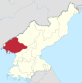 Pyonganbuk-do in North Korea 2010.svg 1,606 × 1,616; 322 KB
-
 Pyonganbuk-do in North Korea.svg 1,606 × 1,616; 767 KB
-
 Pyongannam-do in North Korea 2010.svg 1,606 × 1,616; 321 KB
-
 Pyongannam-do in North Korea.svg 1,606 × 1,616; 767 KB
-
 Pyongyang-chikhalsi in North Korea 2010.svg 1,606 × 1,616; 313 KB
-
 Pyongyang-chikhalsi in North Korea.svg 1,606 × 1,616; 767 KB
-
 Rason-teukbyeolsi in North Korea 2010.svg 1,606 × 1,616; 313 KB
-
 Rason-teukbyeolsi in North Korea.svg 1,606 × 1,616; 767 KB
-
 Ryanggang-do in North Korea 2010.svg 1,606 × 1,616; 325 KB
-
 Ryanggang-do in North Korea.svg 1,606 × 1,616; 767 KB
-
 Sinuiju in North Korea 2010.svg 1,606 × 1,616; 314 KB


