Category:SVG labeled maps of administrative divisions of Croatia (location map scheme)
Jump to navigation
Jump to search


.svg)


_(Paris_zoom).svg)
.svg)
,_administrative_divisions_-_de_-_colored_(multizoom).svg)
_-_colored.svg)
.svg)
,_administrative_divisions_-_Nmbrs_(multizoom).svg)
,_administrative_divisions_-_de_-_colored.svg)
_-_de_-_colored.svg)

.svg)

.svg)
Media in category "SVG labeled maps of administrative divisions of Croatia (location map scheme)"
The following 10 files are in this category, out of 10 total.
-
 Counties of Croatia-fr.svg 1,097 × 1,062; 772 KB
-
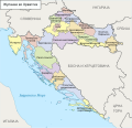 Counties of Croatia-mk.svg 1,097 × 1,062; 1.03 MB
-
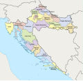
 Croatia, administrative divisions - de - colored.svg 1,097 × 1,062; 712 KB
-
 Croatia, administrative divisions - de.svg 1,097 × 1,062; 582 KB
-
 Croatia, administrative divisions - he - colored.svg 1,097 × 1,062; 770 KB
-
 Croatia, administrative divisions - Nmbrs (geosort) - colored.svg 1,097 × 1,062; 567 KB
-
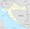
 Croatia, administrative divisions - Nmbrs (geosort).svg 1,097 × 1,062; 441 KB
-
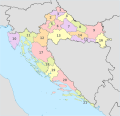
 Croatia, administrative divisions - Nmbrs - colored.svg 1,097 × 1,062; 565 KB
-
 Croatia, administrative divisions - Nmbrs.svg 1,097 × 1,062; 440 KB
-
 Croatia, administrative divisions - th - colored.svg 1,097 × 1,062; 1.15 MB


_-_colored.svg)
.svg)


