Category:Political maps of Jacksonville, Florida
Jump to navigation
Jump to search
- 100 most populous cities of the United States
- 1–25
- Jacksonville
- New York City
- Washington, D.C.
- 26–50
- 51–75
- 76–100
Subcategories
This category has only the following subcategory.
Media in category "Political maps of Jacksonville, Florida"
The following 3 files are in this category, out of 3 total.
-
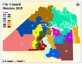 2015 City Council Districts of Jacksonville.pdf 1,650 × 1,275; 1.56 MB
-
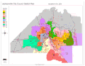 City-Council-Districts.gif 700 × 540; 54 KB
-
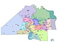 Jacksonville City Council Map.jpg 1,494 × 1,080; 128 KB

