Category:OpenStreetMap maps of Cornwall
Jump to navigation
Jump to search
Media in category "OpenStreetMap maps of Cornwall"
The following 11 files are in this category, out of 11 total.
-
 Atlantic Coast Line.png 3,123 × 1,855; 2.84 MB
-
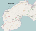 B3306 road.png 941 × 815; 299 KB
-
 Cornish Main Line.png 2,600 × 1,595; 1.19 MB
-
 Cornwall outline map with UK (1974 - 2009).png 1,351 × 1,069; 149 KB
-
 Looe Valley Line.png 1,091 × 1,410; 842 KB
-
 MAP route-U4 (51181031124).png 1,434 × 627; 500 KB
-
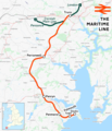 Maritime Line.png 1,402 × 1,633; 1.3 MB
-
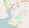 Porthleven-osm.jpg 558 × 529; 63 KB
-
 St Ives Bay Line.png 1,357 × 1,351; 612 KB
-
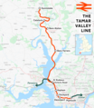 Tamar Valley Line.png 1,578 × 1,812; 1.79 MB
-
 Truro - UK city.jpg 3,394 × 1,873; 686 KB


.png)

.png)


