Category:Old maps of Sheffield
Jump to navigation
Jump to search
Use the appropriate category for maps showing all or a large part of Sheffield. See subcategories for smaller areas:
| If the map shows | Category to use |
|---|---|
| Sheffield on a recently created map | Category:Maps of Sheffield or its subcategories |
| Sheffield on a map created more than 70 years ago | Category:Old maps of Sheffield or its subcategories |
| the history of Sheffield on a recently created map | Category:Maps of the history of Sheffield or its subcategories |
| the history of Sheffield on a map created more than 70 years ago | Category:Old maps of the history of Sheffield or its subcategories |
Subcategories
This category has only the following subcategory.
G
Media in category "Old maps of Sheffield"
The following 15 files are in this category, out of 15 total.
-
-
 Gosling sheffield 1736.jpg 1,289 × 1,289; 282 KB
-
 Shef1736.jpg 900 × 1,000; 340 KB
-
 Barker Pool 1793.png 1,149 × 776; 56 KB
-
 Sheffield 1823 plan.jpg 2,015 × 1,919; 538 KB
-
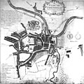
 Sheffield1832.jpg 863 × 889; 177 KB
-
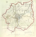
 Sheffield and Rotherham Railway Map 1840.jpg 1,042 × 644; 119 KB
-
 EW(1884) p.534 - Sheffield (left) - A + C Black (pub).jpg 1,225 × 1,902; 804 KB
-
 EW(1884) p.535 - Sheffield (right) - A + C Black (pub).jpg 1,225 × 1,902; 686 KB
-
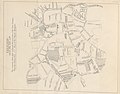
 AddySO1888plxvii.png 455 × 740; 229 KB
-
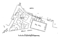
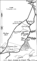
 Carl Wark plan Gould 1903.jpg 816 × 507; 78 KB
-
 Brightside, Shefield & Blackburn Valley Treeton RJD 67.jpg 2,861 × 1,890; 728 KB
-
 Sheffield City Good station.png 848 × 360; 378 KB
-
 The earth and its inhabitants (1881) (14597816137).jpg 1,812 × 1,408; 532 KB
-
 The earth and its inhabitants (1882) (14586458640).jpg 1,812 × 1,386; 532 KB
.jpg)


_p.534_-_Sheffield_(left)_-_A_%2B_C_Black_(pub).jpg)
_p.535_-_Sheffield_(right)_-_A_%2B_C_Black_(pub).jpg)


_(14597816137).jpg)
_(14586458640).jpg)