Category:Old maps of Montgomery County, Ohio
Jump to navigation
Jump to search
Subcategories
This category has the following 3 subcategories, out of 3 total.
M
S
Media in category "Old maps of Montgomery County, Ohio"
The following 3 files are in this category, out of 3 total.
-
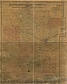 Map of Montgomery County, Ohio LOC 2012592381.jpg 11,030 × 13,764; 24.18 MB
-
 Map of Montgomery County, Ohio LOC 2012592381.tif 11,030 × 13,764; 434.35 MB
-
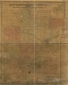
 Map of Montgomery County, Ohio LOC 2012592382.jpg 19,478 × 14,569; 39.96 MB

