Category:Mody Road Garden
Jump to navigation
Jump to search
| Object location | | View all coordinates using: OpenStreetMap |
|---|
 | |||||
| Upload media | |||||
| Instance of | |||||
|---|---|---|---|---|---|
| Location | Yau Tsim Mong District, Hong Kong, PRC | ||||
 | |||||
中文:麼地道花園
Media in category "Mody Road Garden"
The following 7 files are in this category, out of 7 total.
-
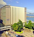
 HK InterContinentalGrandStanfordHongKong.JPG 1,424 × 1,068; 235 KB
-
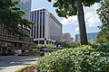
 HK YTMD 尖沙咀 TST East 麼地道 Mody Road Garden green leaves May 2022 Px3 01.jpg 4,000 × 3,000; 5.46 MB
-
 Hong Kong 04256.JPG 4,912 × 3,264; 5.26 MB
-
 Hongkong wikimania 2013 08.08.2013 03-48-35 ShiftN.jpg 1,556 × 1,699; 1.63 MB
-
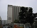 Interconti Stanford.JPG 1,600 × 1,200; 393 KB
-
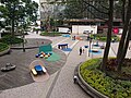 Mody Road Garden.jpg 4,736 × 3,552; 10.85 MB
-
 Wikimania 2013 hongkong 12.08.2013 01-50-13 victoria.JPG 1,944 × 2,592; 1.85 MB


