Category:Maps of the province of Trento
Jump to navigation
Jump to search
Media in category "Maps of the province of Trento"
The following 15 files are in this category, out of 15 total.
-
 Altopianopinè.svg 370 × 400; 170 KB
-
 BIM confini dei comuni.jpg 1,207 × 1,799; 677 KB
-
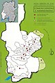
 Comunità comprensoriali trentine.svg 522 × 465; 296 KB
-
 Comunità comprensoriali Trentino.png 522 × 465; 76 KB
-
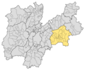 Comunità TN - Posizione3.png 1,144 × 948; 58 KB
-
 Il Trentino 177.tif 983 × 849; 3.18 MB
-
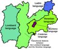 Languages and dialects of Trentino (Autonomous Province of Trento).png 1,024 × 860; 188 KB
-
 Languages and dialects of Trentino.png 1,024 × 860; 182 KB
-
 Tesinoposizione.PNG 500 × 394; 57 KB
-
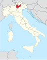 Trentino in Italy.svg 1,034 × 1,299; 3 MB
-
 Trentino Mappa voy.png 1,296 × 907; 1.05 MB
-
 Trentino Mappa voy.svg 480 × 336; 1.52 MB
-
 Trento mappa.png 900 × 708; 286 KB
-
 Trento posizione.png 350 × 424; 11 KB
-
 Unités administratives du trentin.svg 522 × 465; 154 KB


.png)


