Category:Maps of the history of Iraqi Kurdistan
Jump to navigation
Jump to search
Subcategories
This category has the following 13 subcategories, out of 13 total.
A
- Maps of the Afsharid Empire (35 F)
B
- Maps of the Buyid Empire (23 F)
G
- Maps of the Ghurid Empire (11 F)
I
- Maps of the Iraq War (2003) (28 F)
M
- Maps of Mitanni (34 F)
P
S
Media in category "Maps of the history of Iraqi Kurdistan"
The following 26 files are in this category, out of 26 total.
-
 Adrabigan on the map of Spruner and Menke.png 516 × 518; 583 KB
-
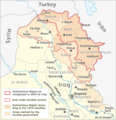
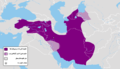
 Autonome Region Kurdistan (Karte).png 1,012 × 1,044; 278 KB
-
 Autonomous Region Kurdistan-en.png 1,012 × 1,044; 514 KB
-
 Azerbazkan espahboz.JPG 1,100 × 850; 281 KB
-
 Hasanwayhids map-ar.png 790 × 792; 35 KB
-
 Hasanwayhids map.png 790 × 792; 40 KB
-
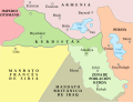
 Irak 1991-1996.png 1,000 × 1,000; 189 KB
-
 Iraq kurdish areas 2003 vector.svg 942 × 997; 484 KB
-
 Iraq kurdish areas 2003.jpg 942 × 997; 134 KB
-
 Kingdom of kurdistan 1923.png 1,106 × 996; 256 KB
-
 Kingdom of Kurdistan (1923).png 1,106 × 996; 73 KB
-
 Kurdisch Revolt until 1975.png 1,106 × 955; 606 KB
-
 Kurdistan 1975.png 1,106 × 955; 597 KB
-
 Kurdistan 1998.png 966 × 846; 57 KB
-
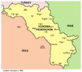
 KurdishFederation1998.png 966 × 846; 56 KB
-
 Kurdistan1920-es.svg 656 × 501; 323 KB
-
 Kurdistan1920.png 720 × 658; 52 KB
-
 Map of the Kurdish state.png 943 × 773; 68 KB
-
 Median Empire-The first half of the 6th century BC.png 1,619 × 925; 214 KB
-
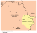
 Mossul-Gebiet und autonome Provinzen.png 1,000 × 1,000; 165 KB
-
 Mossul-Gebiet und Provinzgrenzen.png 1,000 × 1,000; 162 KB
-
 Mossul-Gebiet.png 1,000 × 1,000; 122 KB
-
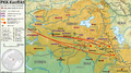 PKK-Conflict-de.png 2,372 × 1,323; 1.98 MB
-
 Sulaimaniyya und die Barzanji-Revolte im Königreich Irak.png 1,000 × 1,000; 139 KB
-
 Umgriffe Kurdistans-pl.png 1,349 × 1,135; 451 KB
-
 Umgriffe Kurdistans.png 1,349 × 1,135; 320 KB

.png)


.png)


