Category:Maps of the London Borough of Hillingdon
Jump to navigation
Jump to search
Subcategories
This category has the following 2 subcategories, out of 2 total.
E
- Election maps of Hillingdon (7 F)
H
Media in category "Maps of the London Borough of Hillingdon"
The following 16 files are in this category, out of 16 total.
-
 Cowley Civil Parish Map 1868.svg 645 × 723; 214 KB
-
 Hayes harlington.png 1,444 × 1,503; 78 KB
-
 Hayes-Harlington1961.svg 543 × 550; 25 KB
-
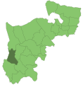
 Hillingdon London UK blank ward map 2022.svg 512 × 791; 4.23 MB
-
 Hillingdon London UK blank ward map.svg 833 × 1,266; 1.1 MB
-
 Hillingdon London UK labelled ward map 2002.svg 656 × 1,337; 142 KB
-
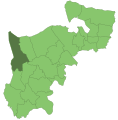
 Hillingdon London UK location map.svg 833 × 1,266; 2.55 MB
-
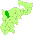
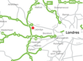
 LondonHillingdon.svg 962 × 744; 19 KB
-
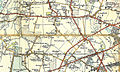 OS Heathrow 5th Edition.jpg 800 × 481; 263 KB
-
 Ruislip northwood 1961.png 1,438 × 1,503; 77 KB
-
 Ruislip-Northwood1961.svg 543 × 550; 25 KB
-
 Uxbridge 1961.png 1,251 × 1,306; 62 KB
-
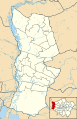
 Uxbridge map london.png 445 × 327; 30 KB
-
 Uxbridge1961.svg 543 × 550; 25 KB
-
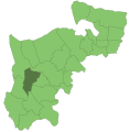
 UxbridgeSouthRuislipConstituency.svg 1,000 × 780; 132 KB
-
 Yiewsley-Westdrayton1961.svg 543 × 550; 25 KB


