Category:Maps of the London Borough of Bromley
Jump to navigation
Jump to search
Media in category "Maps of the London Borough of Bromley"
The following 23 files are in this category, out of 23 total.
-
 BeckenhamConst.GIF 796 × 796; 19 KB
-
 Bexley and Bromley shown within London.PNG 200 × 155; 13 KB
-
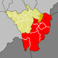
 Bickley ward.PNG 474 × 477; 44 KB
-
 Biggin Hill in Bromley map.GIF 796 × 796; 16 KB
-
 Bromley borough map 1961.png 2,742 × 1,769; 122 KB
-
 Bromley London UK blank ward map 2022.svg 512 × 528; 1.71 MB
-
 Bromley London UK blank ward map.svg 1,210 × 1,266; 604 KB
-
 Bromley London UK labelled ward map 2002.svg 1,175 × 1,301; 179 KB
-
 Bromley London UK location map.svg 1,210 × 1,266; 2.45 MB
-
 Bromley UK locator map.svg 1,425 × 1,140; 1.06 MB
-
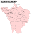
 Bromley Ward Map.GIF 849 × 881; 25 KB
-
 Bromley Ward Map.PNG 849 × 846; 31 KB
-
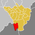
 Bromley&Chislehurst.GIF 747 × 749; 18 KB
-
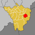 BromleyOrpington.GIF 796 × 796; 17 KB
-
 Burnt Ash marked.JPG 264 × 440; 39 KB
-
 LondonBromley.svg 962 × 744; 22 KB
-
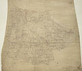 Ordnance Survey Drawings - Bromley (OSD 128).jpg 4,000 × 3,478; 4.25 MB
-
 Ordnance Survey One-inch Sheet 171 London S.E., Published 1970.jpg 11,148 × 13,200; 74.12 MB
-
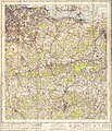 Ordnance Survey One-Inch Sheet 171 London SE, Published 1940.jpg 8,238 × 9,581; 13.91 MB
-
 Ordnance Survey One-Inch Sheet 171 London SE, Published 1964.jpg 8,317 × 9,976; 13.72 MB
-
 Orpington-P-C.GIF 796 × 796; 20 KB
-
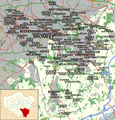 Places in London Borough of Bromley Map.png 800 × 837; 472 KB
-
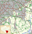
 SELondon.PNG 360 × 293; 14 KB


.jpg)


