Category:Maps of the Bavarian Palatinate
Jump to navigation
Jump to search
Subcategories
This category has only the following subcategory.
A
Media in category "Maps of the Bavarian Palatinate"
The following 5 files are in this category, out of 5 total.
-
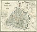 Die Pfalz des Königreichs Bayern von C. F. Hammer Karte 1874.jpg 3,372 × 2,935; 2.67 MB
-
 Geschichtskarte Bayern Kurpfalz.jpg 3,540 × 4,434; 2.54 MB
-
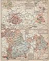
 Handkarte der Pfalz für Schulen 1844.jpg 2,000 × 1,755; 794 KB
-
 LASB K Hellwig 0912.jpg 6,792 × 5,933; 10.34 MB
-
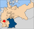 Расположение провинции Пфальц на карте Германской империи.svg 2,621 × 2,224; 475 KB


