Category:Maps of freguesias of Lajes das Flores (Azores)
Jump to navigation
Jump to search
Media in category "Maps of freguesias of Lajes das Flores (Azores)"
The following 14 files are in this category, out of 14 total.
-
 Flores 01.PNG 960 × 720; 150 KB
-
 Flores 04.PNG 960 × 720; 150 KB
-
 Flores 07.PNG 960 × 720; 154 KB
-
 Flores 10.PNG 960 × 720; 149 KB
-
 Flores 13.PNG 960 × 720; 95 KB
-
 Flores 16.PNG 960 × 720; 155 KB
-
 Flores 19.PNG 960 × 720; 147 KB
-
 Locator map AZO FLO Faja Grande.svg 886 × 709; 1.11 MB
-
 Locator map AZO FLO Fajazinha.svg 886 × 709; 1.06 MB
-
 Locator map AZO FLO Fazenda.svg 886 × 709; 1.07 MB
-
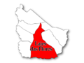
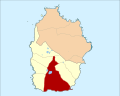
 Locator map AZO FLO Lajedo.svg 886 × 709; 1.11 MB
-
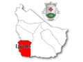
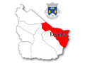
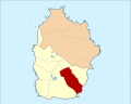
 Locator map AZO FLO Lajes.svg 886 × 709; 1.07 MB
-
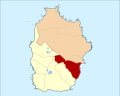 Locator map AZO FLO Lomba.svg 886 × 709; 1.07 MB
-
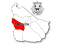
 Locator map AZO FLO Mosteiro.svg 886 × 709; 1.1 MB


