Category:Maps of beltways in the United States
Jump to navigation
Jump to search
Media in category "Maps of beltways in the United States"
The following 51 files are in this category, out of 51 total.
-
 Allegheny County Belt System.png 2,566 × 2,415; 2.9 MB
-
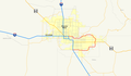
 Arizona State Route 101 map.png 2,205 × 1,286; 90 KB
-
 Arizona State Route 101 map.svg 725 × 430; 168 KB
-
 Arizona State Route 202 map.png 2,205 × 1,286; 72 KB
-
 Arizona State Route 202 map.svg 1,001 × 586; 260 KB
-
 Baltimore, Maryland 1955 Yellow Book.jpg 800 × 703; 185 KB
-
 Belt Parkway Map.svg 1,027 × 609; 1.02 MB
-
 Capital Beltway Harrisburg map.png 2,282 × 1,354; 238 KB
-
 Capital Beltway Map Color.png 562 × 487; 66 KB
-
 Capital Beltway Map Color.svg 564 × 489; 279 KB
-
 Capital Beltway Map.png 562 × 487; 121 KB
-
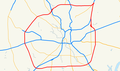
 Charlotte Route 4.svg 1,152 × 684; 425 KB
-
 Cincinnati, Ohio 1955 Yellow Book.jpg 800 × 791; 184 KB
-
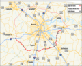
 Colorado State Highway 470 Map.svg 1,028 × 609; 1.25 MB
-
 Columbus, Ohio 1955 Yellow Book.jpg 800 × 1,073; 187 KB
-
 DC freeway map.svg 7,107 × 5,930; 253 KB
-
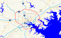
 District of Columbia 1955 Yellow Book.jpg 800 × 971; 246 KB
-
 Dothan.svg 1,848 × 1,864; 188 KB
-
 E-470 Map.svg 1,028 × 609; 1.46 MB
-
 Fort Worth, Texas 1955 Yellow Book.jpg 800 × 859; 209 KB
-
 Georgia state route 10 loop map.png 429 × 276; 51 KB
-
 Georgia state route 120 loop map.png 946 × 966; 214 KB
-
 GreensboroHighways.gif 1,090 × 553; 248 KB
-
 Houston, Texas 1955 Yellow Book.jpg 497 × 451; 222 KB
-
 I-240 (TN) map.svg 1,180 × 688; 232 KB
-
 I-240 Tennessee.png 1,180 × 688; 91 KB
-
 I-264 (KY) map.svg 1,180 × 688; 345 KB
-
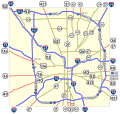
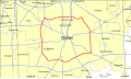
 I-270 (OH) map.svg 1,475 × 860; 415 KB
-
 I-275 (IN-KY-OH) map B.svg 1,475 × 860; 925 KB
-
 I-275 (IN-KY-OH) map.svg 1,475 × 860; 368 KB
-
 I-285 (GA) map.svg 1,180 × 688; 329 KB
-
 I-410 map.svg 1,180 × 688; 361 KB
-
 I-435 (KS-MO) map.svg 1,475 × 860; 469 KB
-
 I-485 (NC) map.svg 1,475 × 860; 978 KB
-
 I-485 NC map.svg 1,026 × 608; 1.21 MB
-
 I-695 in MD map.png 922 × 579; 51 KB
-
 Indianapolis.svg 1,624 × 1,548; 723 KB
-
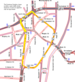
 Inner Loop Rochester 2014 map.svg 1,450 × 860; 1.52 MB
-
 Inner Loop Rochester map.svg 1,450 × 860; 1.72 MB
-
 Interstate 410 map.png 2,320 × 1,376; 91 KB
-
 Interstate 610 map (Texas).svg 1,180 × 688; 309 KB
-
 Interstate 820 map (Texas).svg 1,180 × 688; 245 KB
-
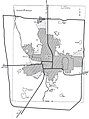
 Kansas City, Missouri 1955 Yellow Book.jpg 800 × 1,042; 239 KB
-
 Louisville, Kentucky 1955 Yellow Book.jpg 800 × 991; 248 KB
-
 Memphis, Tennessee 1955 Yellow Book.jpg 800 × 768; 153 KB
-
 Michigan 114 map.png 2,255 × 1,333; 180 KB
-
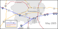
 Pawtucket Circulator map.png 665 × 722; 25 KB
-
 San Antonio, Texas 1955 Yellow Book.jpg 800 × 824; 227 KB
-
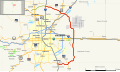
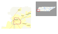
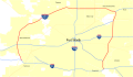
 Tennessee SR 840 Map.png 749 × 600; 305 KB
-
 Texas Beltway 8 map.svg 1,088 × 645; 862 KB
-
 Texas Loop 12 map.svg 1,088 × 645; 742 KB


_map.svg)

_map.svg)
_map.svg)
_map_B.svg)
_map.svg)
_map.svg)

_map.svg)
_map.svg)


.svg)
.svg)


