Category:Maps of Scranton, Pennsylvania
Jump to navigation
Jump to search
Subcategories
This category has only the following subcategory.
Media in category "Maps of Scranton, Pennsylvania"
The following 9 files are in this category, out of 9 total.
-
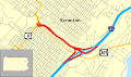 Central Scranton Expressway map.svg 1,204 × 708; 147 KB
-
 DL&W Scranton.jpg 379 × 313; 62 KB
-

-

-
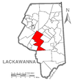 Map of Scranton, Lackawanna County, Pennsylvania Highlighted.png 1,476 × 1,587; 100 KB
-
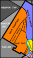
 North Scranton Neighborhoods.png 462 × 559; 91 KB
-
 PAMap-doton-Scranton.png 565 × 361; 27 KB
-
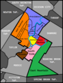 Scranton Neighborhoods Update.png 505 × 658; 105 KB
-
 West Side Neighborhoods.png 388 × 684; 70 KB


