Category:Maps of Navajo County, Arizona
Jump to navigation
Jump to search
Wikimedia category | |||||
| Upload media | |||||
| Instance of | |||||
|---|---|---|---|---|---|
| Category combines topics | |||||
| Navajo County | |||||
county in Arizona, United States   | |||||
| Instance of | |||||
| Named after | |||||
| Location | Arizona | ||||
| Capital | |||||
| Inception |
| ||||
| Population |
| ||||
| Area |
| ||||
| official website | |||||
 | |||||
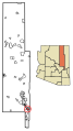
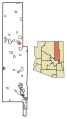
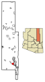
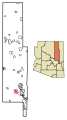
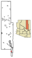
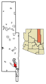
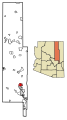
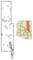
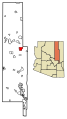
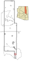
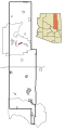
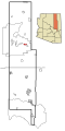
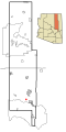
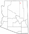
English: Maps of Navajo County — in northeastern Arizona.
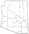
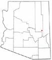
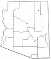
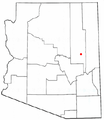
- Populated area maps shows the cities, unincorporated areas, and Indian reservations in Navajo County in solid black lines, with unincorporated areas as red dots when boundaries are not defined. Highlighted cities appear in red.
Subcategories
This category has the following 2 subcategories, out of 2 total.
Media in category "Maps of Navajo County, Arizona"
The following 97 files are in this category, out of 97 total.
-
 Map of Arizona highlighting Navajo County.svg 893 × 1,099; 260 KB
-
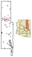
 Navajo County Incorporated and Unincorporated areas.svg 400 × 800; 70 KB
-
 Navajo County Hopi reservation.PNG 300 × 600; 44 KB
-

-
 Arizona State Route 564 map.svg 1,001 × 586; 74 KB
-
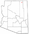
 AZMap-doton-First Mesa.png 260 × 300; 22 KB
-
 AZMap-doton-Kayenta.png 260 × 300; 22 KB
-
 AZMap-doton-Oljato-Monument Valley.png 260 × 300; 22 KB
-
 AZMap-doton-Second Mesa.png 260 × 300; 22 KB
-
 AZMap-doton-Shongopovi.png 260 × 300; 22 KB
-
 AZMap-doton-Show Low.png 260 × 300; 22 KB
-

-
 Coconino Navajo Counties Hopi Reservation.png 664 × 742; 59 KB
-
 Kayenta mine permit area and PWCC lease areas map.png 1,197 × 739; 561 KB
-
 Map of the Upper San Juan Basin.jpg 562 × 423; 140 KB
-

-

-

-

-
-

-

-

-

-
-

-

-
-

-

-

-

-

-
-

-

-

-
-

-

-

-
-

-

-

-

-
-
-

-

-
-

-

-
-

-

-

-

-

-

-
-
-

-

-

-

-

-

-

-
-

-
-

-

-

-

-

-

-

-

-

-

-

-

-

-
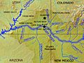
 Sanjuanrivermap.jpg 617 × 429; 247 KB
-
 Sanjuanrivermappiedrahighlighted.jpg 1,612 × 1,160; 466 KB
-
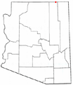
 AZMap-doton-Dilkon.png 260 × 300; 22 KB
-
 AZMap-doton-Heber-Overgaard.png 260 × 300; 22 KB
-
 AZMap-doton-Kykotsmovi Village.png 260 × 300; 22 KB
-
 AZMap-doton-Pinetop-Lakeside.png 260 × 300; 22 KB
-
 AZMap-doton-Pinon.png 260 × 300; 22 KB
-
 AZMap-doton-Shonto.png 260 × 300; 22 KB
-
 AZMap-doton-Snowflake.png 260 × 300; 22 KB
-
 AZMap-doton-Taylor.png 260 × 300; 22 KB
-
 AZMap-doton-Whiteriver.png 260 × 300; 22 KB
-
 AZMap-doton-Winslow West.png 260 × 300; 22 KB


