Category:Maps of Miami-Dade County, Florida (style B)
Jump to navigation
Jump to search
Counties of Florida: Broward · Clay · Collier · Flagler · Franklin · Hardee · Hendry · Hernando · Highlands · Hillsborough · Indian River · Jackson · Lake · Leon · Manatee · Marion · Miami-Dade · Monroe · Nassau · Okaloosa · Okeechobee · Orange · Osceola · Palm Beach · Pasco · Pinellas · Polk · Seminole · St. Johns · Sumter · Union · Volusia · Wakulla · Walton · Washington
Media in category "Maps of Miami-Dade County, Florida (style B)"
The following 158 files are in this category, out of 158 total.
-
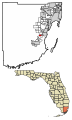
 Map of Florida highlighting Bal Harbour.svg 333 × 307; 131 KB
-
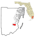
 Map of Florida highlighting Bay Harbor Islands.svg 333 × 307; 131 KB
-
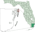
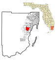
 Map of Florida highlighting Biscayne Park.svg 333 × 307; 134 KB
-
 Map of Florida highlighting Coral Gables.svg 333 × 307; 132 KB
-
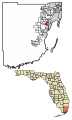
 Map of Florida highlighting Hialeah Gardens.svg 333 × 307; 131 KB
-
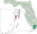
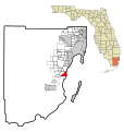
 Map of Florida highlighting Miami Beach.svg 333 × 307; 135 KB
-
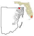
 Map of Florida highlighting Miami Gardens.svg 333 × 307; 133 KB
-
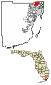
 Map of Florida highlighting North Miami.png 469 × 428; 22 KB
-

-

-

-

-

-

-

-

-

-

-

-

-
-

-

-

-

-

-

-

-

-

-

-

-

-

-

-

-

-

-

-

-

-

-

-

-
-

-

-

-

-

-
-

-

-

-

-

-

-

-

-
-

-

-

-

-

-

-

-

-
-

-

-

-

-

-
-

-

-

-

-

-

-
-

-

-

-

-

-

-

-

-

-

-

-

-

-

-

-

-

-

-

-

-

-

-

-

-

-

-

-

-

-

-

-

-

-

-

-

-

-

-

-

-

-

-

-

-

-

-

-

-

-

-

-

-

-

-

-

-

-

-

-

-

-

-

-

-

-

-

-

-

-

-

-

-

-

-

-


